xXx 1 X ™
⬤
unesco
⬤


☆
Cahokia Mounds State Historic Site

Collinsville, Illinois

624.41 km
☆
★★★★☆
0

Cahokia Mounds State Historic Site


Collinsville, Illinois
Identifier 198
states us
category cultural
criteria (iii)(iv)
Title cahokia mounds state historic site
latitude 38.6586112976
longitude -90.0613861084
location collinsville, illinois
Region europe and north america
year 1982
unique number 2191
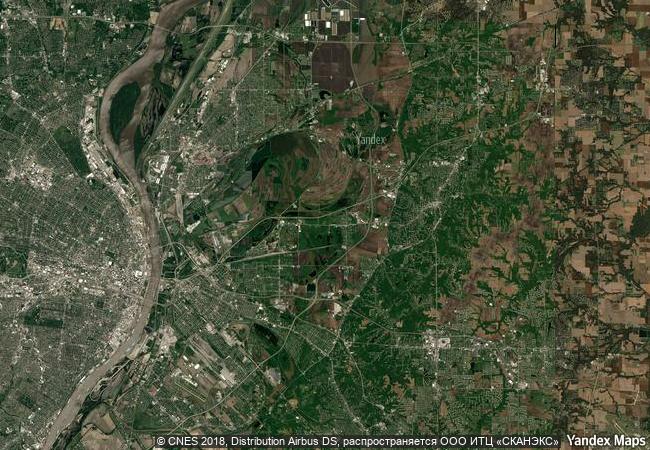
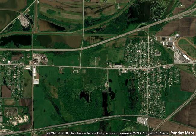
description cahokia mounds, some 13 km north-east of st louis, missouri, is the largest pre-columbian settlement north of mexico. it was occupied primarily during the mississippian period (800–1400), when it covered nearly 1,600 ha and included some 120 mounds. it is a striking example of a complex chiefdom society, with many satellite mound centres and numerous outlying hamlets and villages. this agricultural society may have had a population of 10–20,000 at its peak between 1050 and 1150. primary features at the site include monks mound, the largest prehistoric earthwork in the americas, covering over 5 ha and standing 30 m high.
★
6.2 M
(2)

United States
www.X-X-X.NAME
38,65 ° × -90,06 °

38 ° 40 ′ 31 ″ N × 90 ° 04 ′ 41 ″ W
624.41 km

205 ° SW
United States of America, State of Illinois, St. Clair County

United States of America / Central Lowlands / State of Illinois / St. Clair County
☆
Tower of London

London Borough of Tower Hamlets, England

6.209.51 km
☆
Rock Paintings of the Sierra de San Francisco

State: Lower California Sud Municipality

3.074.32 km
☆
Madriu-Perafita-Claror Valley

Part of Communes of Encamp, Andorra la Vella, Saint Julia de Loria and Escaldes-Engordany

6.766.27 km
☆
Old town of Kuldīga

Europe and North America

7.172.19 km
☆
Old City of Berne

Canton of Berne

6.924.84 km
☆
Aachen Cathedral

State of North Rhine-Westphalia (Nordrhein-Westfalen)

6.632.79 km
☆
San Pedro de la Roca Castle, Santiago de Cuba

Provincia de Santiago de Cuba

2.324.36 km
☆
Quebrada de Humahuaca

Province of Juyuy

7.257.57 km
☆
Petroglyphs of the Archaeological Landscape of Tanbaly

Almaty Oblast

10.455.69 km
☆
Petroglyphs of Lake Onega and the White Sea

Europe and North America

7.458.13 km
☆
Mill Network at Kinderdijk-Elshout

Municipalities of Alblasserdam and Nieuw-Lekkerland, Province of Zuid-Holland

6.488.49 km
☆
Paseo del Prado and Buen Retiro, a landscape of Arts and Sciences

Europe and North America

6.489.08 km

©

1 X ™


BRAND • COM • CORP • GLOBAL • INT

AAA • BASE • GRAND • HIGH • ORIGINAL • QUALITY • TOP • UNIQUE

™X-X-X•NAME
1 X ™ unesco
Info
Map
similar
language
▼ ▼ ▼
guest


1 X
™
-4
IP : America/New_York
-4
IP : America/New_York
▼ ▼ ▼
►
►