|
|


| |||||
|
|
 0
0
|

|

|

|
|
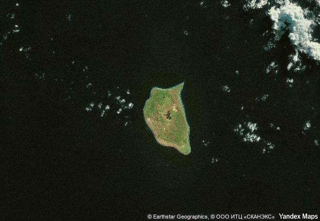
Henderson Island |
|||

|
|||

|
|||

|
|||

|
|||

|
|||

|
|||

|
|||

|
|||

|
|||

|
|||

|
|||

|
|||
6.12 M
 |
|
|
|
|
|
-24,36 ° × -128,33 ° |
8.556.05 |
|
Pitcairn, Henderson, Ducie, and Oeno Islands, Henderson Island |
|
|

|

|

|


|
|

|

|

|

|

|

|

|

|

|

|

|

|

|

|

|
 1 X ™ unesco
|
 Info
Info
|
 Map
Map
|
 similar
|
 language
|
|
|
|
|
|
|
|
|
|
|

|

|

|

|

|

|

|
|
| ▼ ▼ ▼ | |
|
|

|

|

|
|
► ► |