1 X xXx
unesco


Seventeenth-Century Canal Ring Area of Amsterdam inside the Singelgracht

Europe and North America

6.479.92 km
0

Seventeenth-Century Canal Ring Area of Amsterdam inside the Singelgracht


Identifier 1349
states nl
category cultural
criteria (i)(ii)(iv)
Title seventeenth-century canal ring area of amsterdam inside the singelgracht
latitude 52.3650016785
longitude 4.8877778053
Region europe and north america
year 2010
unique number 1666
description 
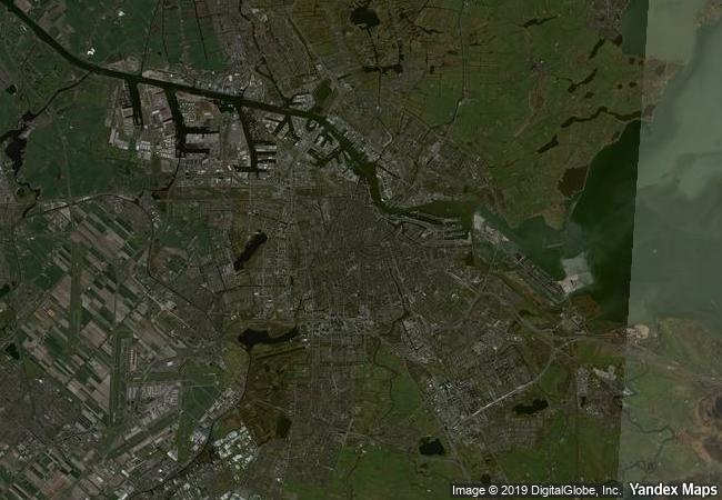
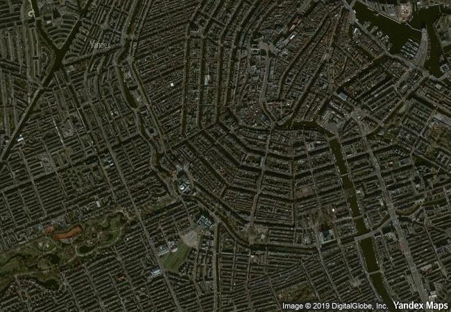
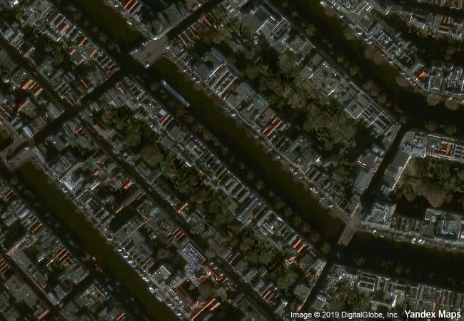
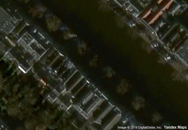
the historic urban ensemble of the canal district of amsterdam was a project for a new ‘port city’ built at the end of the 16th and beginning of the 17th centuries. it comprises a network of canals to the west and south of the historic old town and the medieval port that encircled the old town and was accompanied by the repositioning inland of the city’s fortified boundaries, the singelgracht. this was a long-term programme that involved extending the city by draining the swampland, using a system of canals in concentric arcs and filling in the intermediate spaces. these spaces allowed the development of a homogeneous urban ensemble including gabled houses and numerous monuments. this urban extension was the largest and most homogeneous of its time. it was a model of large-scale town planning, and served as a reference throughout the world until the 19th century.
8.56 M

Netherlands
80.2 K

Amsterdam
www.X-X-X.NAME
52,36 ° × 4,88 °

52 ° 22 ′ 54 ″ N × 4 ° 53 ′ 16 ″ E
6.479.92 km

167 ° S
Netherlands, Amsterdam, Keizersgracht

North European Plain / Netherlands / North Holland / Regio Amsterdam / Amsterdam / Stadsdeel Centrum / Keizersgracht
Historic Monuments of Ancient Kyoto (Kyoto, Uji and Otsu Cities)

Kyoto and Shiga prefectures

10.782.70 km
Mantua and Sabbioneta

Europe and North America

7.248.84 km
Citadel, Ancient City and Fortress Buildings of Derbent

Dagestan, Eastern Caucasus, Western coast of Caspian Sea

9.658.76 km
Champaner-Pavagadh Archaeological Park

Gujarat state, district of Panchmahal

12.657.44 km
Historic City of Trogir

County of Split-Dalmatia

7.710.10 km
The Loire Valley between Sully-sur-Loire and Chalonnes

Europe and North America

6.451.49 km
The Historic Town and Archaeological Site of Gedi

Africa

13.010.58 km
Mathildenhöhe Darmstadt

Europe and North America

6.841.79 km
Sites of Human Evolution at Mount Carmel: The Nahal Me’arot / Wadi el-Mughara Caves

Europe and North America

9.726.87 km
Ancient City of Bosra

Governorate of Deraa

9.834.69 km
Historic Monuments Zone of Tlacotalpan

State of Veracruz, Tlacotalpan Municipality

2.665.61 km
Gochang, Hwasun and Ganghwa Dolmen Sites

Gochang-gun County, Jeollabuk-do Province; Hwasun-gun County, Jeollanam-do Province; Ganghwa-gun County, Incheon Metropolitan City

11.136.11 km

©

1 X ™


BRAND COM CORP GLOBAL INT

AAA BASE GRAND HIGH ORIGINAL QUALITY TOP UNIQUE

X-X-X•NAME
1 X ™ unesco
Info
Map
similar
language
guest


1 X
-4
IP : America/New_York
-4
IP : America/New_York