Pre-Hispanic Town of Uxmal
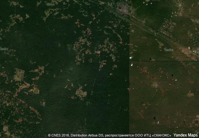
Etat de Yucatan, municipalites Muna et Santa Elena
|

|
Identifier |
791 |
|

|
states |
mx |
|

|
category |
cultural |
|

|
criteria |
(i)(ii)(iii) |
|

|
Title |
pre-hispanic town of uxmal |
|

|
latitude |
20.3616676331 |
|

|
longitude |
-89.7702789307 |
|

|
location |
etat de yucatan, municipalites muna et santa elena |
|

|
Region |
latin america and the caribbean |
|

|
year |
1996 |
|

|
unique number |
935 |
|

|
description |
the mayan town of uxmal, in yucatán, was founded c. a.d. 700 and had some 25,000 inhabitants. the layout of the buildings, which date from between 700 and 1000, reveals a knowledge of astronomy. the pyramid of the soothsayer, as the spaniards called it, dominates the ceremonial centre, which has well-designed buildings decorated with a profusion of symbolic motifs and sculptures depicting chaac, the god of rain. the ceremonial sites of uxmal, kabah, labna and sayil are considered the high points of mayan art and architecture. |
|

|
justification |
the committee decided to inscribe the nominated property on the basis of cultural criteria (i), (ii) and (iii) considering that the site is of outstanding universal value. the ruins of the ceremonial structures at uxmal represent the pinnacle of late mayan art and architecture in their design, layout and ornamentation, and the complex of uxmal and its three related towns of kabáh, labná and sayil admirably demonstrate the social and economic structure of late mayan society. |
|


 0
0


 1 X ™ unesco
 Info
Info
 Map
Map
 similar
 language