Cocos Island National Park
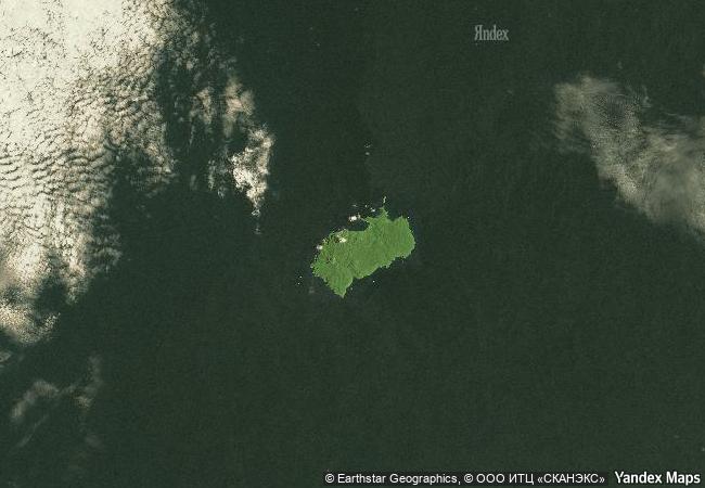
Province of Puntarenas, South Eastern Tropical Pacific
|

|
Identifier |
820 |
|

|
states |
cr |
|

|
category |
natural |
|

|
criteria |
(ix)(x) |
|

|
Title |
cocos island national park |
|

|
latitude |
5.5333328247 |
|

|
longitude |
-87.0666656494 |
|

|
location |
province of puntarenas, south eastern tropical pacific |
|

|
Region |
latin america and the caribbean |
|

|
year |
1997 |
|

|
unique number |
969 |
|

|
description |
cocos island national park, located 550 km off the pacific coast of costa rica, is the only island in the tropical eastern pacific with a tropical rainforest. its position as the first point of contact with the northern equatorial counter-current, and the myriad interactions between the island and the surrounding marine ecosystem, make the area an ideal laboratory for the study of biological processes. the underwater world of the national park has become famous due to the attraction it holds for divers, who rate it as one of the best places in the world to view large pelagic species such as sharks, rays, tuna and dolphins. |
|

|
justification |
the committee inscribed cocos island national park under natural criteria (ix) and (x) because of the critical habitats the site provides for marine wildlife including large pelagic species, especially sharks. |
|

|
extension |
1 |
|


 0
0




 1 X ™ unesco
 Info
Info
 Map
Map
 similar
 language