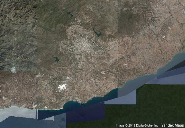
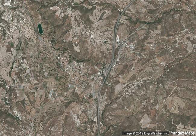
Choirokoitia
District of Larnaca
|

|
Identifier |
848 |
|

|
states |
cy |
|

|
category |
cultural |
|

|
criteria |
(ii)(iii)(iv) |
|

|
Title |
choirokoitia |
|

|
latitude |
34.7967414856 |
|

|
longitude |
33.3439445496 |
|

|
location |
district of larnaca |
|

|
Region |
europe and north america |
|

|
year |
1998 |
|

|
unique number |
1927 |
|

|
description |
the neolithic settlement of choirokoitia, occupied from the 7th to the 4th millennium b.c., is one of the most important prehistoric sites in the eastern mediterranean. its remains and the finds from the excavations there have thrown much light on the evolution of human society in this key region. since only part of the site has been excavated, it forms an exceptional archaeological reserve for future study. |
|

|
justification |
criterion (ii): in the prehistoric period, cyprus played a key role in the transmission of culture from the near east to the european world. criterion (iii): choirokhoitia is an exceptionally well preserved archaeological site that has provided, and will continue to provide, scientific data of great importance relating to the spread of civilization from asia to the mediterranean world. criterion (iv): both the excavated remains and the untouched part of choirokhoitia demonstrate clearly the origins of proto-urban settlement in the mediterranean region and beyond. |
|


 0
0


 1 X ™ unesco
 Info
Info
 Map
Map
 similar
 language