xXx 1 X ™
2
2
⬤
unesco
⬤


☆
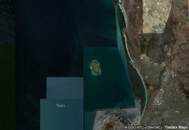
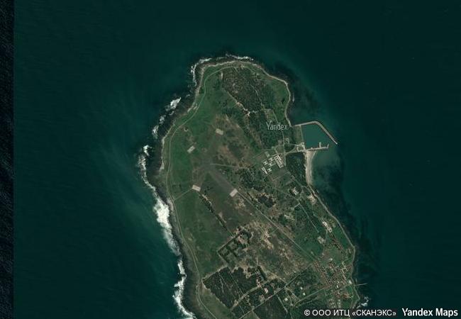
Robben Island

Western Cape Province

13.217.52 km
☆
★★★★☆
0

Robben Island


Western Cape Province
Identifier 916
states za
category cultural
criteria (iii)(vi)
Title robben island
latitude -33.7999992371
longitude 18.3666667938
location western cape province
Region africa
year 1999
unique number 1070
description robben island was used at various times between the 17th and 20th centuries as a prison, a hospital for socially unacceptable groups and a military base. its buildings, particularly those of the late 20th century such as the maximum security prison for political prisoners, witness the triumph of democracy and freedom over oppression and racism.
justification criterion (iii): the buildings of robben island bear eloquent testimony to its sombre history. criterion (vi): robben island and its prison buildings symbolize the triumph of the human spirit, of freedom, and of democracy over oppression.
☆
3.4 M

Republic of South Africa
★
467.3 K

Cape Town
www.X-X-X.NAME
-33,79 ° × 18,36 °

33 ° 48 ′ 60 ″ S × 18 ° 22 ′ 00 ″ E
13.217.52 km

326 ° N>NW
Republic of South Africa, Western Cape Province, Cape Town, Robben Island

Atlantic Ocean / Republic of South Africa / Western Cape Province / City of Cape Town Metropolitan Municipality / Cape Town / Robben Island
☆
Historic Centre of the Town of Diamantina

State of Minas Gerais

7.651.38 km
☆
Asante Traditional Buildings

Asante Region

8.816.47 km
☆
Jodensavanne Archaeological Site: Jodensavanne Settlement and Cassipora Creek Cemetery

Latin America and the Caribbean

4.752.53 km
☆
Archaeological Site of Sabratha

District of Zawia

8.157.06 km
☆
Fujisan, sacred place and source of artistic inspiration

Asia and the Pacific

10.612.80 km
☆
The Archaeological Heritage of Niah National Park’s Caves Complex

Asia and the Pacific

14.854.81 km
☆
Historic Centre of Riga

City of Riga

7.278.79 km
☆
Bassari Country: Bassari, Fula and Bedik Cultural Landscapes

Africa

7.427.39 km
☆
Kulangsu, a Historic International Settlement

Asia and the Pacific

12.528.01 km
☆
Wooden Churches of Maramureş

Districts of Bârsana, Budesti, Desesti, Ieud, Sisesti, Poienile Izei, Târgu-Lapus; Maramureş County, Region of Transylvania

7.898.77 km
☆
Cultural Landscape of Khinalig People and “Köç Yolu” Transhumance Route

Europe and North America

9.810.53 km
☆
Colonies of Benevolence

Europe and North America

6.537.71 km

©

1 X ™


BRAND • COM • CORP • GLOBAL • INT

AAA • BASE • GRAND • HIGH • ORIGINAL • QUALITY • TOP • UNIQUE

™X-X-X•NAME
1 X ™ unesco
Info
Map
similar
language
▼ ▼ ▼
guest


1 X
™
-5
IP : America/New_York
-5
IP : America/New_York
▼ ▼ ▼
►
►