1 X xXx
unesco


Bassari Country: Bassari, Fula and Bedik Cultural Landscapes

Africa

7.428.04 km
0

Bassari Country: Bassari, Fula and Bedik Cultural Landscapes


Identifier 1407
states sn
category cultural
criteria (iii)(v)(vi)
Title bassari country: bassari, fula and bedik cultural landscapes
latitude 12.5933332443
longitude -12.8458328247
Region africa
year 2012
unique number 1832
description 
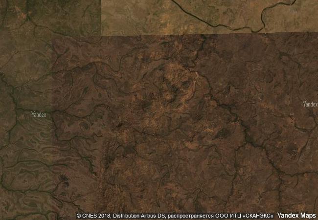
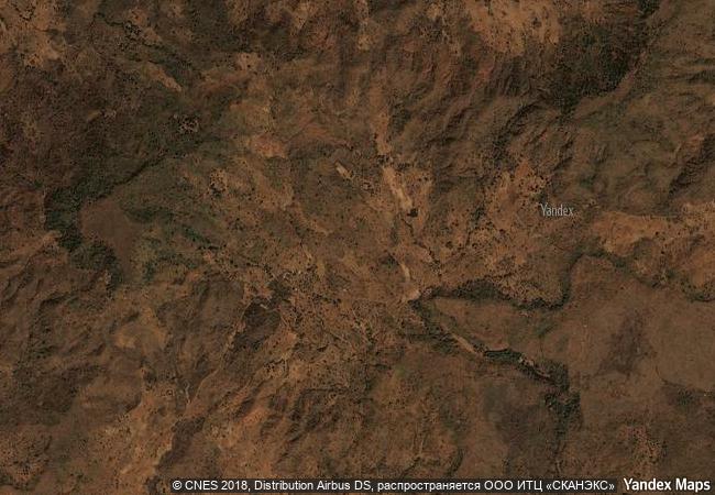
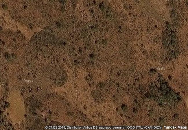
the site, located in south-east senegal, includes three geographical areas: the bassari–salémata area, the bedik–bandafassi area and the fula–dindéfello area, each with its specific morphological traits. the bassari, fula and bedik peoples settled from the 11th to the 19th centuries and developed specific cultures and habitats symbiotic with their surrounding natural environment. the bassari landscape is marked by terraces and rice paddies, interspersed with villages, hamlets and archaeological sites. the bedik villages are formed by dense groups of huts with steep thatched roofs. their inhabitants’ cultural expressions are characterized by original traits of agro-pastoral, social, ritual and spiritual practices, which represent an original response to environmental constraints and human pressures. the site is a well-preserved multicultural landscape housing original and still vibrant local cultures.
1.4 M

Senegal
www.X-X-X.NAME
12,59 ° × -12,84 °

12 ° 36 ′ 36 ″ N × 12 ° 51 ′ 45 ″ W
7.428.04 km

114 ° SE
Senegal, Kedougou Region

Senegal / Kedougou Region
The Archaeological Heritage of Niah National Park’s Caves Complex

Asia and the Pacific

14.854.17 km
Historic Centre of the Town of Goiás

State of Goiás

7.085.60 km
Aasivissuit – Nipisat. Inuit Hunting Ground between Ice and Sea

Europe and North America

3.582.93 km
Garden Kingdom of Dessau-Wörlitz

State of Saxony-Anhalt (Sachsen-Anhalt)

6.960.41 km
Writing-on-Stone / Áísínai’pi

Europe and North America

2.466.31 km
Medina of Sousse

Gouvernorat de Sousse

7.821.31 km
Taxila

Province of Punjab

11.449.52 km
Changdeokgung Palace Complex

Seoul

10.866.20 km
Frontiers of the Roman Empire – The Lower German Limes

Europe and North America

6.460.94 km
Gochang, Hwasun and Ganghwa Dolmen Sites

Gochang-gun County, Jeollabuk-do Province; Hwasun-gun County, Jeollanam-do Province; Ganghwa-gun County, Incheon Metropolitan City

11.136.11 km
Pythagoreion and Heraion of Samos

Prefecture of Samos, Region of the North Aegean

8.817.18 km
Great Mosque and Hospital of Divriği

City and District of Divriği, Province of Sivas (Eastern Anatolia)

9.362.15 km

©

1 X ™


BRAND COM CORP GLOBAL INT

AAA BASE GRAND HIGH ORIGINAL QUALITY TOP UNIQUE

X-X-X•NAME
1 X ™ unesco
Info
Map
similar
language
guest


1 X
-4
IP : America/New_York
-4
IP : America/New_York