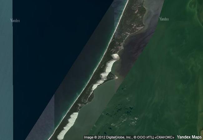
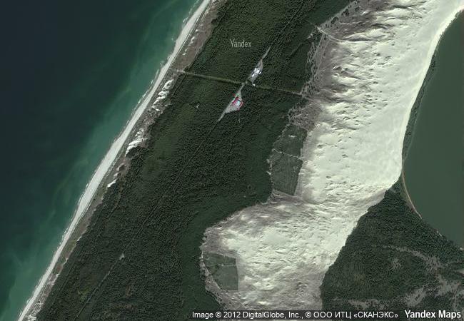
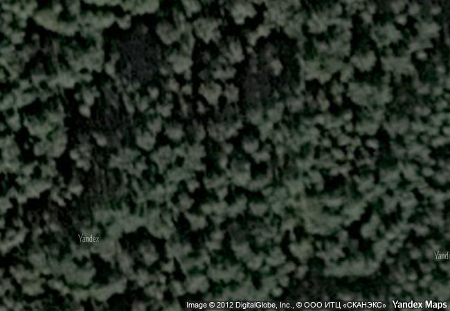
Curonian Spit
Klaipeda Region, Neringa and Klaipeda (Lithuania);
Kaliningrad Region, Zelenogradsk District (Russian
Federation)
|

|
Identifier |
994 |
|

|
states |
lt,ru |
|

|
category |
cultural |
|

|
criteria |
(v) |
|

|
Title |
curonian spit |
|

|
latitude |
55.2745780945 |
|

|
longitude |
20.9623908997 |
|

|
location |
klaipeda region, neringa and klaipeda (lithuania);
kaliningrad region, zelenogradsk district (russian
federation) |
|

|
Region |
europe and north america |
|

|
year |
2000 |
|

|
unique number |
1158 |
|

|
description |
human habitation of this elongated sand dune peninsula, 98 km long and 0.4-4 km wide, dates back to prehistoric times. throughout this period it has been threatened by the natural forces of wind and waves. its survival to the present day has been made possible only as a result of ceaseless human efforts to combat the erosion of the spit, dramatically illustrated by continuing stabilisation and reforestation projects. |
|

|
justification |
criterion (v): the curonian spit is an outstanding example of a landscape of sand dunes that is under constant threat from natural forces (wind and tide). after disastrous human interventions that menaced its survival the spit was reclaimed by massive protection and stabilization works begun in the 19th century and still continuing to the present day. |
|

|
transboundary |
1 |
|


 0
0


 1 X ™ unesco
 Info
Info
 Map
Map
 similar
 language