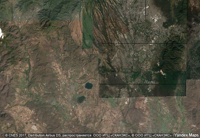
Archaeological Monuments Zone of Xochicalco
Municipalities of Temixco and
Miacatlan, Morelos State
|

|
Identifier |
939 |
|

|
states |
mx |
|

|
category |
cultural |
|

|
criteria |
(iii)(iv) |
|

|
Title |
archaeological monuments zone of xochicalco |
|

|
latitude |
18.8039722443 |
|

|
longitude |
-99.2963867188 |
|

|
location |
municipalities of temixco and
miacatlan, morelos state |
|

|
Region |
latin america and the caribbean |
|

|
year |
1999 |
|

|
unique number |
1094 |
|

|
description |
xochicalco is an exceptionally well-preserved example of a fortified political, religious and commercial centre from the troubled period of 650–900 that followed the break-up of the great mesoamerican states such as teotihuacan, monte albán, palenque and tikal. |
|

|
justification |
criterion (iii): xochicalco is an exceptionally well preserved and complete example of a fortified settlement from the epiclassic period of mesoamerica. criterion (iv): the architecture and art of xochicalco represent the fusion of cultural elements from different parts of mesoamerica, at a period when the breakdown of earlier political structures resulted in intensive cultural regroup-ing. |
|


 0
0


 1 X ™ unesco
 Info
Info
 Map
Map
 similar
 language