1 xXx X
unesco


Protective town of San Miguel and the Sanctuary of Jesús Nazareno de Atotonilco

Guanajuato Region

2.705.19 km
0

Protective town of San Miguel and the Sanctuary of Jesús Nazareno de Atotonilco


Guanajuato Region
Identifier 1274
states mx
category cultural
criteria (ii)(iv)
Title protective town of san miguel and the sanctuary of jesús nazareno de atotonilco
latitude 20.9144439697
longitude -100.7463912964
location guanajuato region
Region latin america and the caribbean
year 2008
unique number 1493
description 
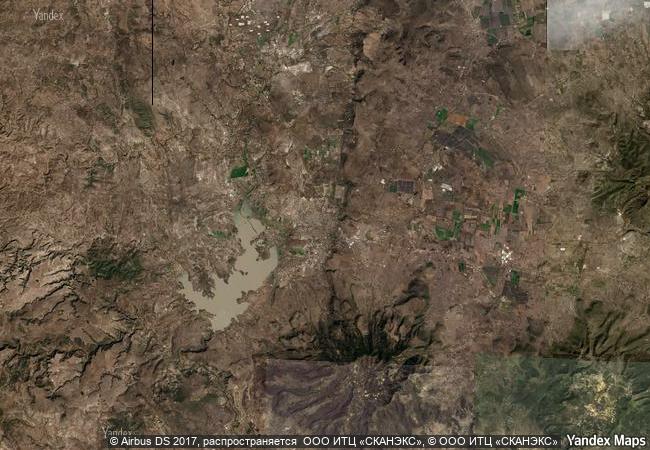
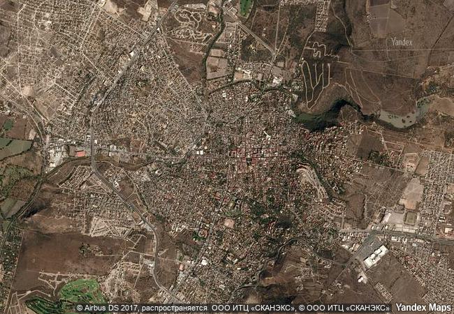
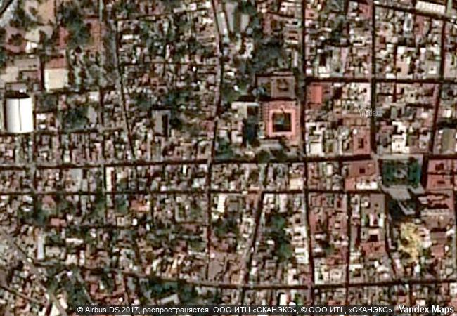
the fortified town, first established in the 16th century to protect the royal route inland, reached its apogee in the 18th century when many of its outstanding religious and civic buildings were built in the style of the mexican baroque. some of these buildings are masterpieces of the style that evolved in the transition from baroque to neoclassical. situated 14 km from the town, the jesuit sanctuary, also dating from the 18th century, is one of the finest examples of baroque art and architecture in the new spain. it consists of a large church, and several smaller chapels, all decorated with oil paintings by rodriguez juárez and mural paintings by miguel antonio martínez de pocasangre. because of its location, san miguel de allende acted as a melting pot where spaniards, creoles and amerindians exchanged cultural influences while the sanctuary of jesús nazareno de atotonilco constitutes an exceptional example of the exchange between european and latin american cultures. its architecture and interior decoration testify to the influence of saint ignacio de loyola’s doctrine.
2.9 M

Mexico

San Miguel de Allende
www.X-X-X.NAME
20,91 ° × -100,74 °

20 ° 55 ′ 52 ″ N × 100 ° 45 ′ 47 ″ W
2.705.19 km

226 ° W>SW
Mexico, Guanajuato, San Miguel de Allende

Mexico / Mexican Plateau / Guanajuato / San Miguel de Allende
Historic Centre of Riga

City of Riga

7.278.80 km
Itsukushima Shinto Shrine

Hiroshima Prefecture

10.997.13 km
Khami Ruins National Monument

Western Region, Matabeleland

13.223.92 km
Ancient Jericho/Tell es-Sultan

Arab States

9.822.46 km
Caves of Maresha and Bet-Guvrin in the Judean Lowlands as a Microcosm of the Land of the Caves

Europe and North America

9.809.83 km
Jesuit Block and Estancias of Córdoba

Province of Cordoba

8.171.00 km
Old Towns of Djenné

Djenné Circle, Region of Mopti

8.044.18 km
Petroglyphs of the Archaeological Landscape of Tanbaly

Almaty Oblast

10.455.45 km
Gochang, Hwasun and Ganghwa Dolmen Sites

Gochang-gun County, Jeollabuk-do Province; Hwasun-gun County, Jeollanam-do Province; Ganghwa-gun County, Incheon Metropolitan City

11.136.11 km
Mapungubwe Cultural Landscape

Northern Province

13.426.60 km
Margravial Opera House Bayreuth

Europe and North America

7.018.12 km
Gaya Tumuli

Asia and the Pacific

11.037.87 km

©

1 X ™


BRAND COM CORP GLOBAL INT

AAA BASE GRAND HIGH ORIGINAL QUALITY TOP UNIQUE

X-X-X•NAME
1 X ™ unesco
Info
Map
similar
language
guest


1 X
-4
IP : America/New_York
-4
IP : America/New_York