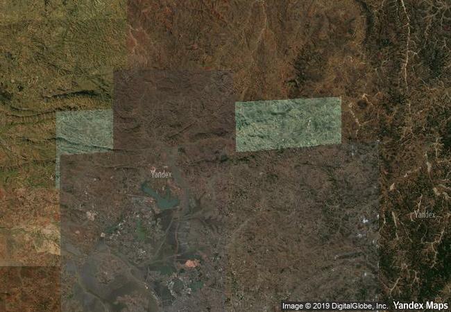
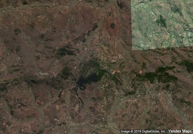
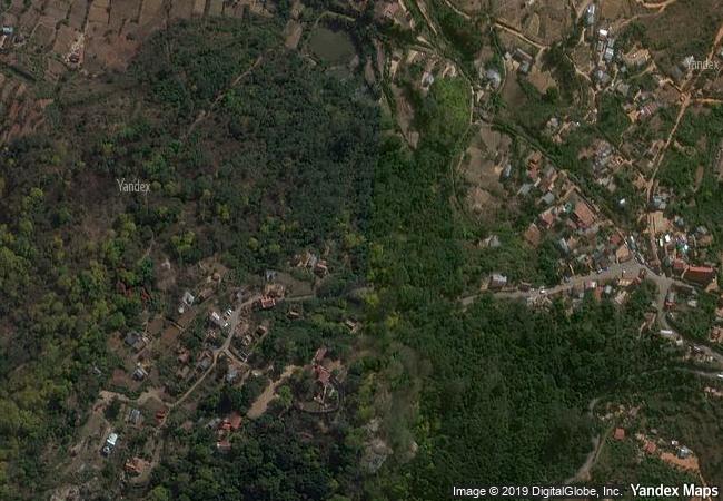
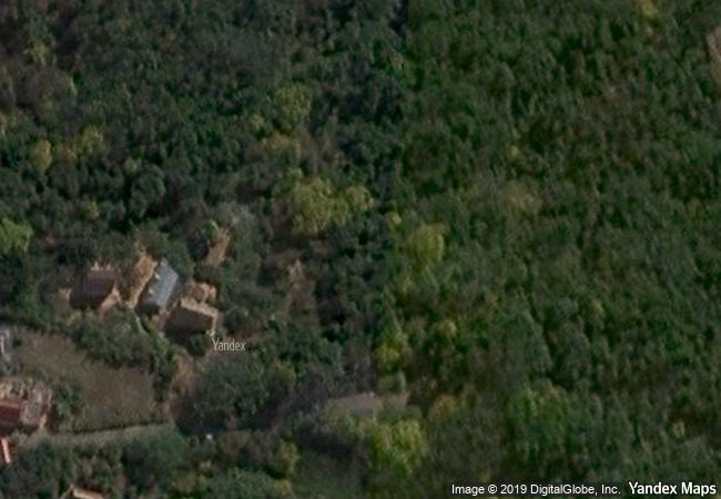
Royal Hill of Ambohimanga
Municipality of Ambohimanga
Rova, Province of Antananarivo
Avaradrano
|

|
Identifier |
950 |
|

|
states |
mg |
|

|
category |
cultural |
|

|
criteria |
(iii)(iv)(vi) |
|

|
Title |
royal hill of ambohimanga |
|

|
latitude |
-18.7591705322 |
|

|
longitude |
47.5627784729 |
|

|
location |
municipality of ambohimanga
rova, province of antananarivo
avaradrano |
|

|
Region |
africa |
|

|
year |
2001 |
|

|
unique number |
1111 |
|

|
description |
the royal hill of ambohimanga consists of a royal city and burial site, and an ensemble of sacred places. it is associated with strong feelings of national identity, and has maintained its spiritual and sacred character both in ritual practice and the popular imagination for the past 500 years. it remains a place of worship to which pilgrims come from madagascar and elsewhere. |
|

|
justification |
criterion iii the royal hill of ambohimanga is the most significant symbol of the cultural identity of the people of madagascar. criterion iv the traditional design, materials, and layout of the royal hill of ambohimanga are representative of the social and political structure of malagasy society from at least the 16th century. criterion vi the royal hill of ambohimanga an exceptional example of a place where, over centuries, common human experience has been focused in memory, ritual, and prayer. |
|


 0
0


 1 X ™ unesco
 Info
Info
 Map
Map
 similar
 language


