xXx 1 X
3
2
unesco


Fujian Tulou

Asia and the Pacific

12.478.09 km
0

Fujian Tulou


Identifier 1113
states cn
category cultural
criteria (iii)(iv)(v)
Title fujian tulou
latitude 25.0230560303
longitude 117.6858367920
Region asia and the pacific
year 2008
unique number 1505
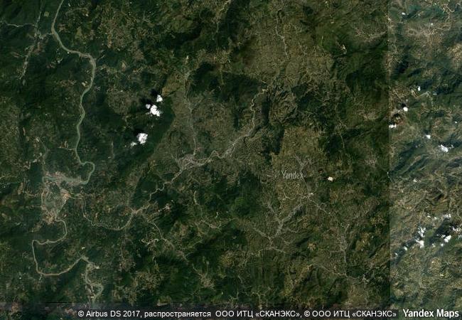
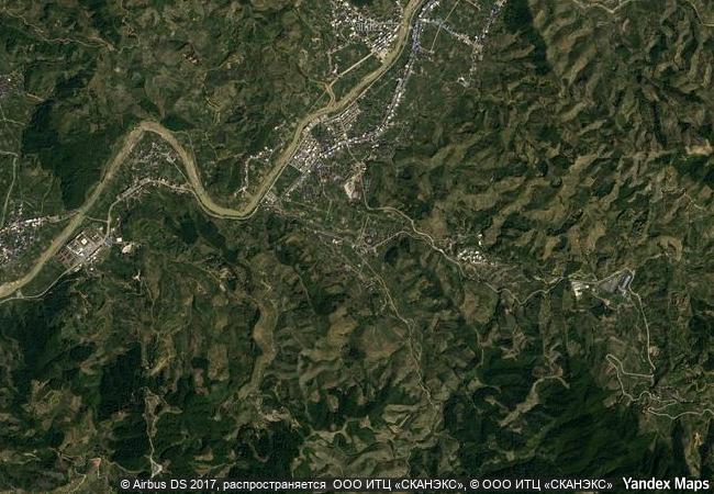
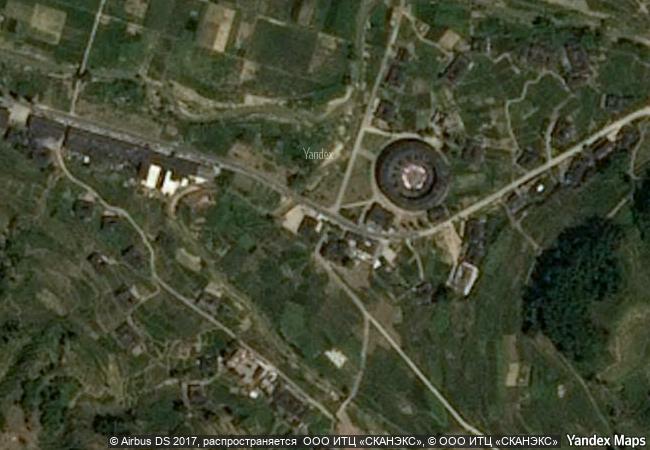
description fujian tulou is a property of 46 buildings constructed between the 15th and 20th centuries over 120 km in south-west of fujian province, inland from the taiwan strait. set amongst rice, tea and tobacco fields the tulou are earthen houses. several storeys high, they are built along an inward-looking, circular or square floor plan as housing for up to 800 people each. they were built for defence purposes around a central open courtyard with only one entrance and windows to the outside only above the first floor. housing a whole clan, the houses functioned as village units and were known as “a little kingdom for the family” or “bustling small city.” they feature tall fortified mud walls capped by tiled roofs with wide over-hanging eaves. the most elaborate structures date back to the 17th and 18th centuries. the buildings were divided vertically between families with each disposing of two or three rooms on each floor. in contrast with their plain exterior, the inside of the tulou were built for comfort and were often highly decorated. they are inscribed as exceptional examples of a building tradition and function exemplifying a particular type of communal living and defensive organization, and, in terms of their harmonious relationship with their environment, an outstanding example of human settlement.
4.85 M
(2)

China
www.X-X-X.NAME
25,02 ° × 117,68 °

25 ° 01 ′ 23 ″ N × 117 ° 41 ′ 09 ″ E
12.478.09 km

209 ° SW
China, Fujian Province, Zhangzhou District

China / Fujian Province / Zhangzhou District
Astronomical Observatories of Kazan Federal University

Europe and North America

8.449.58 km
Earliest 16th-Century Monasteries on the Slopes of Popocatepetl

Latin America and the Caribbean

2.789.09 km
Roman Theatre and its Surroundings and the "Triumphal Arch" of Orange

Department of Vacluse, Region of Provence-Alpes-Côte-d’Azur

6.902.70 km
Petroglyphs of the Archaeological Landscape of Tanbaly

Almaty Oblast

10.455.69 km
Medina of Sousse

Gouvernorat de Sousse

7.820.98 km
Archaeological Site of Olympia

Prefecture of Ilia, Region of West Greece in the Western Peloponnese

8.470.79 km
Jesuit Missions of the Guaranis: San Ignacio Mini, Santa Ana, Nuestra Señora de Loreto and Santa Maria Mayor (Argentina), Ruins of Sao Miguel das Missoes (Brazil)

State of Rio Grande do Sul, Brazil; Province of Misiones, Argentina

8.175.85 km
Sites of Japan’s Meiji Industrial Revolution: Iron and Steel, Shipbuilding and Coal Mining

Asia and the Pacific

11.021.39 km
Jesuit Missions of the Chiquitos

Department of Santa Cruz

6.644.36 km
The Persian Qanat

Asia and the Pacific

10.869.25 km
Ban Chiang Archaeological Site

Udon Thani Province

13.603.53 km
Ruins of Loropéni

Africa

8.379.07 km

©

1 X ™


BRAND COM CORP GLOBAL INT

AAA BASE GRAND HIGH ORIGINAL QUALITY TOP UNIQUE

X-X-X•NAME
1 X ™ unesco
Info
Map
similar
language
guest


1 X
-4
IP : America/New_York
-4
IP : America/New_York