xXx 1 X ™
4
1
⬤
unesco
⬤


☆
Old Towns of Djenné

Djenné Circle, Region of Mopti

8.043.58 km
☆
★★★★☆
0

Old Towns of Djenné


Djenné Circle, Region of Mopti
Identifier 116
states ml
category cultural
criteria (iii)(iv)
Title old towns of djenné
latitude 13.9063901901
longitude -4.5549998283
location djenné circle, region of mopti
Region africa
year 1988
unique number 127
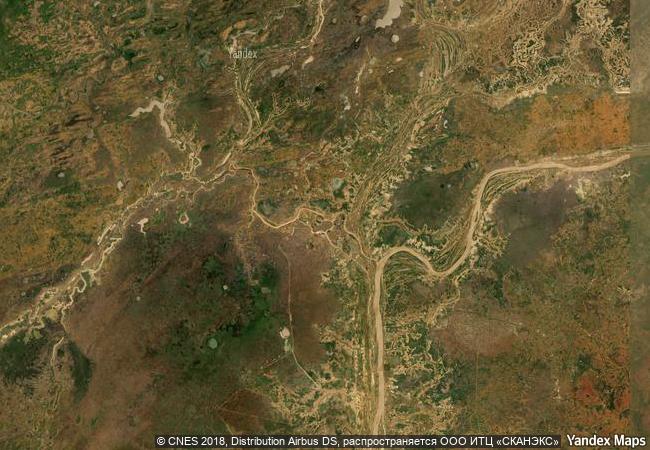
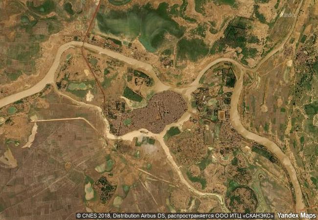
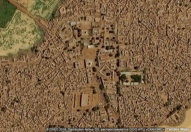
description inhabited since 250 b.c., djenné became a market centre and an important link in the trans-saharan gold trade. in the 15th and 16th centuries, it was one of the centres for the propagation of islam. its traditional houses, of which nearly 2,000 have survived, are built on hillocks (toguere) as protection from the seasonal floods.
☆
2.1 M

Mali
☆
747.9 K

Djenne
www.X-X-X.NAME
13,90 ° × -4,55 °

13 ° 54 ′ 23 ″ N × 4 ° 33 ′ 18 ″ W
8.043.58 km

177 ° S
Mali, Mopti, Djenne

Mali / Mopti / Djenne
☆
Land of Frankincense

Dhofar Province

12.137.61 km
☆
Stari Grad Plain

Split and Dalmatia Counties

7.757.18 km
☆
Site of Xanadu

Asia and the Pacific

10.660.08 km
☆
Iwami Ginzan Silver Mine and its Cultural Landscape

Shimane Prefecture, Ohda City District

10.911.95 km
☆
Studenica Monastery

Village of Studenica, Commune of Kraljevo, Raška District, Republic of Serbia

7.986.95 km
☆
Historical Monuments at Makli, Thatta

Province of Sind

12.211.61 km
☆
Sacred Sites and Pilgrimage Routes in the Kii Mountain Range

Mie, Nara and Wakayama Prefectures

10.894.35 km
☆
Changdeokgung Palace Complex

Seoul

10.866.84 km
☆
Historic City of Meknes

region centre sud, Wilaya de Meknes

6.697.97 km
☆
Saint Hilarion Monastery/ Tell Umm Amer

Arab States

9.787.81 km
☆
Berlin Modernism Housing Estates

Europe and North America

6.985.91 km
☆
Mesa Verde National Park

Colorado

2.227.01 km

©

1 X ™


BRAND • COM • CORP • GLOBAL • INT

AAA • BASE • GRAND • HIGH • ORIGINAL • QUALITY • TOP • UNIQUE

™X-X-X•NAME
1 X ™ unesco
Info
Map
similar
language
▼ ▼ ▼
guest


1 X
™
-4
IP : America/New_York
-4
IP : America/New_York
▼ ▼ ▼
►
►