Historic City of Meknes
region centre sud, Wilaya de Meknes
|

|
Identifier |
793 |
|

|
states |
ma |
|

|
category |
cultural |
|

|
criteria |
(iv) |
|

|
Title |
historic city of meknes |
|

|
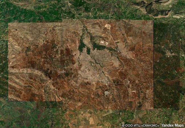
latitude |
33.8833312988 |
|

|
longitude |
-5.5583300591 |
|

|
location |
region centre sud, wilaya de meknes |
|

|
Region |
arab states |
|

|
year |
1996 |
|

|
unique number |
937 |
|

|
description |
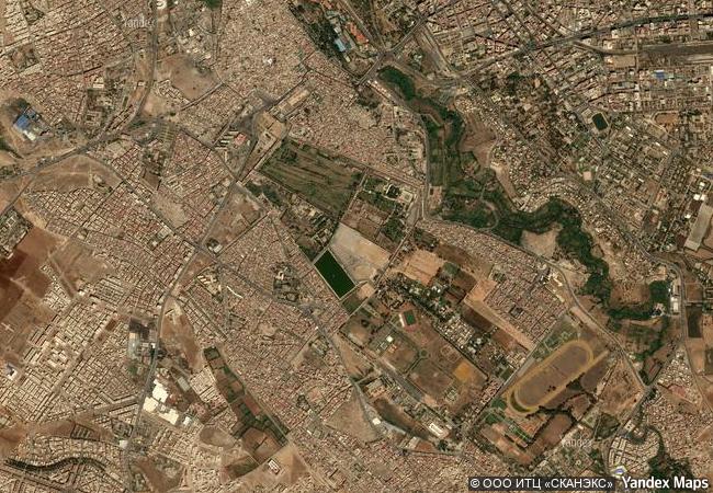
founded in the 11th century by the almoravids as a military settlement, meknes became a capital under sultan moulay ismaïl (1672–1727), the founder of the alawite dynasty. the sultan turned it into a impressive city in spanish-moorish style, surrounded by high walls with great doors, where the harmonious blending of the islamic and european styles of the 17th century maghreb are still evident today. |
|

|
justification |
the committee decided to inscribe the historic city of meknes under cultural criterion (iv) because it represents in an exceptionally complete and well preserved way the urban fabric and monumental buildings of a 17th century maghreb capital city which combines elements of islamic and european design and planning in a harmonious fashion. |
|


 0




 1 X ™ unesco
 Info
 Map
 similar
 language