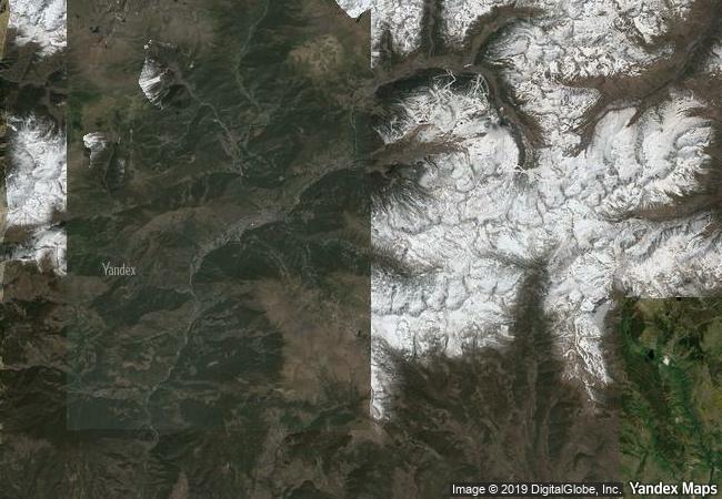
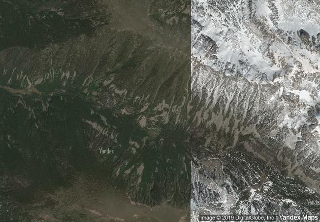
Madriu-Perafita-Claror Valley
Part of Communes of Encamp, Andorra la Vella, Saint Julia de Loria and Escaldes-Engordany
|

|
Identifier |
1160 |
|

|
states |
ad |
|

|
category |
cultural |
|

|
criteria |
(v) |
|

|
Title |
madriu-perafita-claror valley |
|

|
latitude |
42.4947204590 |
|

|
longitude |
1.5955560207 |
|

|
location |
part of communes of encamp, andorra la vella, saint julia de loria and escaldes-engordany |
|

|
Region |
europe and north america |
|

|
year |
2004 |
|

|
unique number |
1487 |
|

|
description |
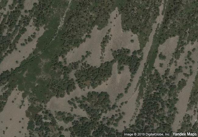
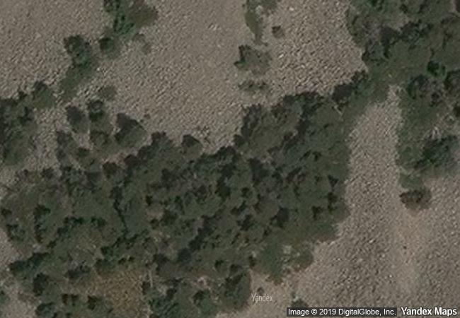
the cultural landscape of madriu-perafita-claror valley offers a microcosmic perspective of the way people have harvested the resources of the high pyrenees over millennia. its dramatic glacial landscapes of craggy cliffs and glaciers, with high open pastures and steep wooded valleys, covers an area of 4,247 ha, 9% of the total area of the principality. it reflects past changes in climate, economic fortune and social systems, as well as the persistence of pastoralism and a strong mountain culture, notably the survival of a communal land-ownership system dating back to the 13th century. the site features houses, notably summer settlements, terraced fields, stone tracks and evidence of iron smelting. |
|

|
justification |
criterion (v): the madriu-perafita-claror valley is a microcosm of the way its inhabitants have harvested the scarce resources of the high pyrenees over the past millennia to create a sustainable living environment in harmony with the mountain landscape. the valley is a reflection of an ancient communal system of land management that has survived for over 700 years. |
|


 0
0


 1 X ™ unesco
 Info
Info
 Map
Map
 similar
 language