The Sundarbans
South-Western Region (Khulna Division)
|

|
Identifier |
798 |
|

|
states |
bd |
|

|
category |
natural |
|

|
criteria |
(ix)(x) |
|

|
Title |
the sundarbans |
|

|
latitude |
21.9500007629 |
|

|
longitude |
89.1833267212 |
|

|
location |
south-western region (khulna division) |
|

|
Region |
asia and the pacific |
|

|
year |
1997 |
|

|
unique number |
943 |
|

|
description |
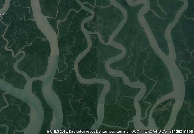
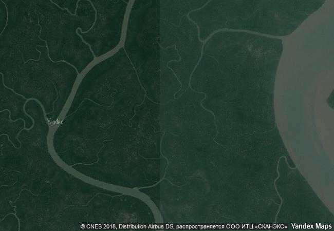
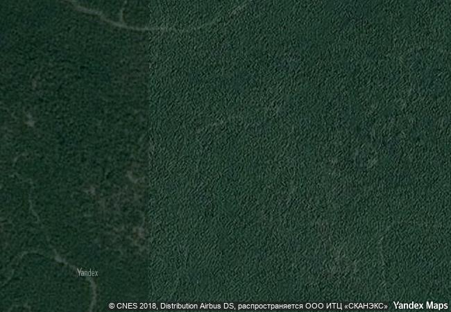
the sundarbans mangrove forest, one of the largest such forests in the world (140,000 ha), lies on the delta of the ganges, brahmaputra and meghna rivers on the bay of bengal. it is adjacent to the border of india’s sundarbans world heritage site inscribed in 1987. the site is intersected by a complex network of tidal waterways, mudflats and small islands of salt-tolerant mangrove forests, and presents an excellent example of ongoing ecological processes. the area is known for its wide range of fauna, including 260 bird species, the bengal tiger and other threatened species such as the estuarine crocodile and the indian python. |
|

|
justification |
the committee inscribed the site under criteria (ix) and (x) as one of the largest remaining areas of mangroves in the world, which supports an exceptional biodiversity with a wide range of flora and fauna, including the bengal tiger and provides a significant example of on-going ecological processes (monsoon rains, flooding, delta formation, tidal influence and plant colonisation). |
|


 0
0


 1 X ™ unesco
 Info
Info
 Map
Map
 similar
 language