X 1 xXx ™
⬤
unesco
⬤


☆
Tajik National Park (Mountains of the Pamirs)

Asia and the Pacific

10.908.06 km
☆
★★★★☆
0

Tajik National Park (Mountains of the Pamirs)


Identifier 1252
states tj
category natural
criteria (vii)(viii)
Title tajik national park (mountains of the pamirs)
latitude 38.7649993896
longitude 72.3052749634
Region asia and the pacific
year 2013
unique number 1907
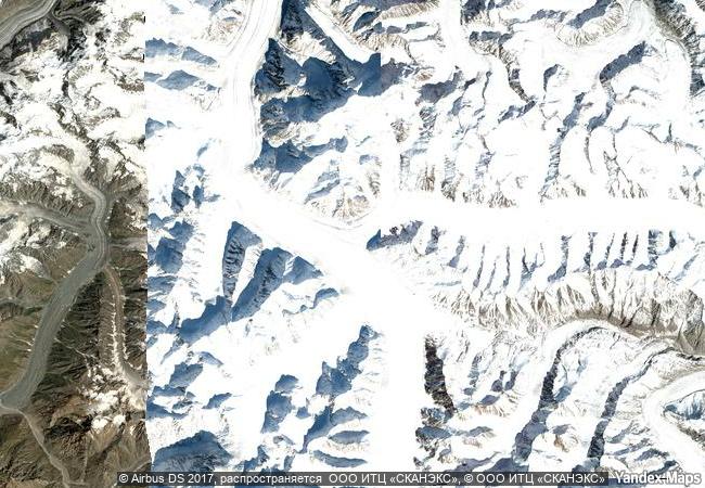
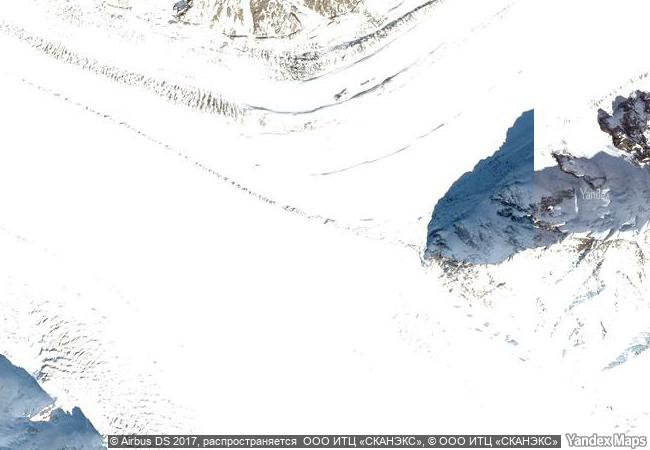
description tajikistan national park covers more than 2.5 million hectares in the east of the country, at the centre of the so-called “pamir knot”, a meeting point of the highest mountain ranges on the eurasian continent. it consists of high plateaux in the east and, to the west, rugged peaks, some of them over 7,000 meters high, and features extreme seasonal variations of temperature. the longest valley glacier outside the polar region is located among the 1,085 glaciers inventoried in the site, which also numbers 170 rivers and more than 400 lakes. rich flora species of both the south-western and central asian floristic regions grow in the park which shelters nationally rare and threatened birds and mammals (marco polo argali sheep, snow leopards and siberian ibex and more). subject to frequent strong earthquakes, the park is sparsely inhabited, and virtually unaffected by agriculture and permanent human settlements. it offers a unique opportunity for the study of plate tectonics and subduction phenomena.
☆
3.8 M

Tajikistan
www.X-X-X.NAME
38,76 ° × 72,30 °

38 ° 46 ′ 54 ″ N × 72 ° 18 ′ 19 ″ E
10.908.06 km

224 ° SW
Tajikistan, Gorno-Badakhshan Autonomous Region, Murgabskiy rayon, lednik Fedchenko

Tajikistan / Pamir mountains / Gorno-Badakhshan Autonomous Region / Murgabskiy rayon / lednik Fedchenko
☆
Iguazu National Park

Province: Misiones - Region: Nord-Est

7.870.97 km
☆
Mount Nimba Strict Nature Reserve

Région de Lola

8.155.39 km
☆
Gulf of Porto: Calanche of Piana, Gulf of Girolata, Scandola Reserve

Departments of Corse du Sud and Haute Corse, Corsica

7.271.69 km
☆
Te Wahipounamu – South West New Zealand

Southwest of South Island

14.406.06 km
☆
Volcanoes and Forests of Mount Pelée and the Pitons of Northern Martinique

Europe and North America

3.507.94 km
☆
Lut Desert

Asia and the Pacific

11.274.65 km
☆
Nyungwe National Park

Africa

12.072.90 km
☆
Brazilian Atlantic Islands: Fernando de Noronha and Atol das Rocas Reserves

Pernambuco and Rio Grande do Norte States

7.087.28 km
☆
Belize Barrier Reef Reserve System

Belize District (sites I, II, III), Stann Creek District ( IV,V,VI), Toledo District (VII)

2.574.47 km
☆
Darien National Park

Province of Darien

3.623.82 km
☆
Białowieża Forest

Europe and North America

7.555.08 km
☆
Namib Sand Sea

Africa

12.435.30 km

©

1 X ™


BRAND • COM • CORP • GLOBAL • INT

AAA • BASE • GRAND • HIGH • ORIGINAL • QUALITY • TOP • UNIQUE

™X-X-X•NAME
1 X ™ unesco
Info
Map
similar
language
▼ ▼ ▼
guest


1 X
™
-5
IP : America/New_York
-5
IP : America/New_York
▼ ▼ ▼
►
►