1 X xXx ™
5
⬤
unesco
⬤


☆
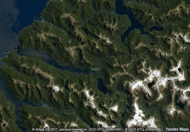
Te Wahipounamu – South West New Zealand

Southwest of South Island

14.406.06 km
☆
★★★★☆
0

Te Wahipounamu – South West New Zealand


Southwest of South Island
Identifier 551
states nz
category natural
criteria (vii)(viii)(ix)(x)
Title te wahipounamu – south west new zealand
latitude -45.0360298157
longitude 167.3196105957
location southwest of south island
Region asia and the pacific
year 1990
unique number 648
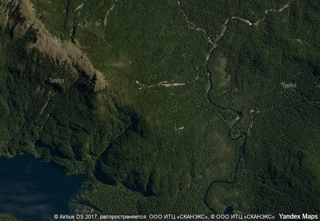
description the landscape in this park, situated in south-west new zealand, has been shaped by successive glaciations into fjords, rocky coasts, towering cliffs, lakes and waterfalls. two-thirds of the park is covered with southern beech and podocarps, some of which are over 800 years old. the kea, the only alpine parrot in the world, lives in the park, as does the rare and endangered takahe, a large flightless bird.
★
5.63 M

New Zealand
www.X-X-X.NAME
-45,03 ° × 167,31 °

45 ° 02 ′ 10 ″ S × 167 ° 19 ′ 11 ″ E
14.406.06 km

309 ° NW
New Zealand, Southland, Southland District

Polynesia / New Zealand / South Island / Southland / Southland District
☆
The Flow Country

Europe and North America

5.714.69 km
☆
Gough and Inaccessible Islands

Tristan da Cunha Island group, St Helena Dependency

11.587.32 km
☆
Gulf of Porto: Calanche of Piana, Gulf of Girolata, Scandola Reserve

Departments of Corse du Sud and Haute Corse, Corsica

7.271.69 km
☆
Bale Mountains National Park

Africa

12.188.64 km
☆
Talamanca Range-La Amistad Reserves / La Amistad National Park

Provincias de Bocas del Toro y Chiriqui, Panama; San Jose, Cartago, Limon and Puntarenas Provinces, Costa Rica

3.397.19 km
★
Grand Canyon National Park

Counties of Coconino and Mohave in the State of Arizona

2.572.18 km
☆
Desembarco del Granma National Park

Desembarco del Granma National Park, south-east corner of the the Republic of Cuba

2.290.17 km
☆
Vredefort Dome

Northwest and Free State provinces

13.543.46 km
☆
Iguaçu National Park

Paraná State

7.876.92 km
☆
Thungyai-Huai Kha Khaeng Wildlife Sanctuaries

Kanchanaburi, Tak and Uthai Thani provinces

13.863.69 km
☆
West Norwegian Fjords – Geirangerfjord and Nærøyfjord

Counties of Møre & Romsdal and Sogn & Fjordane

6.169.52 km
☆
Area de Conservación Guanacaste

Guanacaste and Alajuela provinces

3.247.01 km

©

1 X ™


BRAND • COM • CORP • GLOBAL • INT

AAA • BASE • GRAND • HIGH • ORIGINAL • QUALITY • TOP • UNIQUE

™X-X-X•NAME
1 X ™ unesco
Info
Map
similar
language
▼ ▼ ▼
guest


1 X
™
-5
IP : America/New_York
-5
IP : America/New_York
▼ ▼ ▼
►
►