|
|


| |||||
|
|
 0
0
|

|

|

|
|
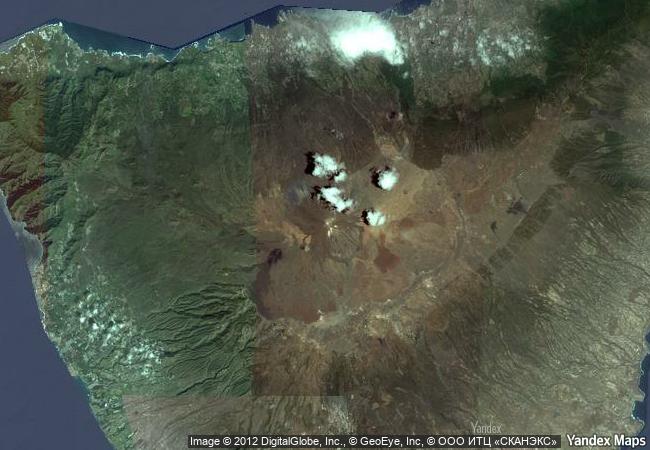
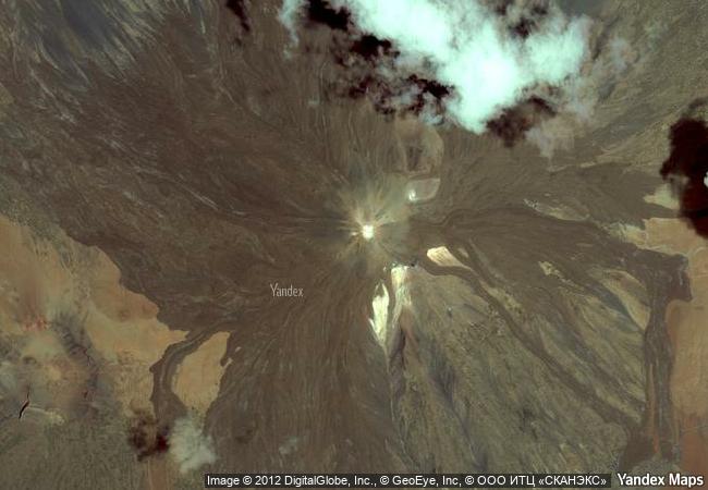
Teide National Park |
|||

|
|||

|
|||

|
|||

|
|||

|
|||

|
|||

|
|||

|
|||

|
|||

|
|||

|
|||

|
|||
7.73 M
|
|
|
|
|
|
28,27 ° × -16,64 ° |
6.105.63 |
|
Spain, Comunidad autónoma de Canarias, Provincia de Santa Cruz de Tenerife, Parque Nacional del Teide |
|
|
|

|
|


|

|

|

|

|

|

|

|

|
|

|

|

|

|

|

|
 1 X ™ unesco
|
 Info
Info
|
 Map
Map
|
 similar
|
 language
|
|
|
|
|
|
|
|
|
|
|

|

|

|

|

|

|

|
|
| ▼ ▼ ▼ | |
|
|

|

|

|
|
► ► |