Garrison Border Town of Elvas and its Fortifications
|

|
Identifier |
1367 |
|

|
states |
pt |
|

|
category |
cultural |
|

|
criteria |
(iv) |
|

|
Title |
garrison border town of elvas and its fortifications |
|

|
latitude |
38.8806190491 |
|

|
longitude |
-7.1633219719 |
|

|
Region |
europe and north america |
|

|
year |
2012 |
|

|
unique number |
1956 |
|

|
description |
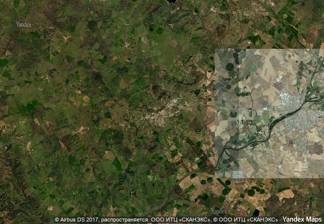
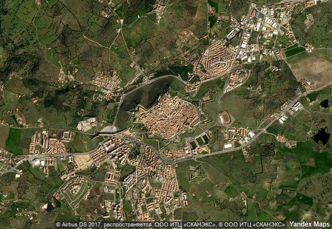
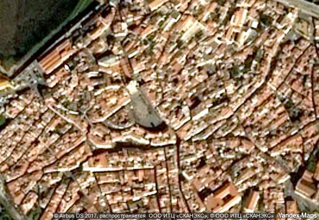
the site, extensively fortified from the 17th to 19th centuries, represents the largest bulwarked dry-ditch system in the world. within its walls, the town contains barracks and other military buildings as well as churches and monasteries. while elvas contains remains dating back to the 10th century ad, its fortification began when portugal regained independence in 1640. the fortifications designed by dutch jesuit padre cosmander represent the best surviving example of the dutch school of fortifications anywhere. the site also contains the amoreira aqueduct, built to enable the stronghold to withstand lengthy sieges. |
|

|
justification |
criterion (iv): elvas is the largest complex of dry-ditched bulwarked land fortifications in the world surviving to the present day.the bulwarked fortifications of the historic centre are the best extant evidence of the old dutch method of fortification in the world. fort of santa luzia is paradigmatic of the highly functional character of bulwarked military architecture, in sacrificing a perfect - and redundant -geometric regularity in order to maximize the military effectiveness of the territorial defensive system to which it belongs. the excellence of design and construction of the fort of graça, in a situation also conditioned strongly by its location and available space. at the end of the 18th century, experienced european military men already thought so, among them christian, prince of waldeck (principality of germany), engaged with the post of marshal, on 10 march 1797 to assist the commander-in-chief of the portuguese army. from his journey of inspection made in 1798, the following reference to the fort remains: “the fort continues to be a masterpiece of fortification, incorporating all the skill and art available at the time (…)”. |
|


 0
0


 1 X ™ unesco
 Info
Info
 Map
Map
 similar
 language