1 X xXx ™
4
3
⬤
unesco
⬤


☆
Neolithic Site of Çatalhöyük

Europe and North America

8.909.68 km
☆
★★★★☆
0

Neolithic Site of Çatalhöyük


Identifier 1405
states tr
category cultural
criteria (iii)(iv)
Title neolithic site of çatalhöyük
latitude 37.6666679382
longitude 32.8280563354
Region europe and north america
year 2012
unique number 1829
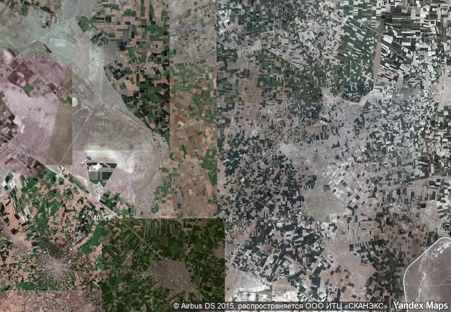
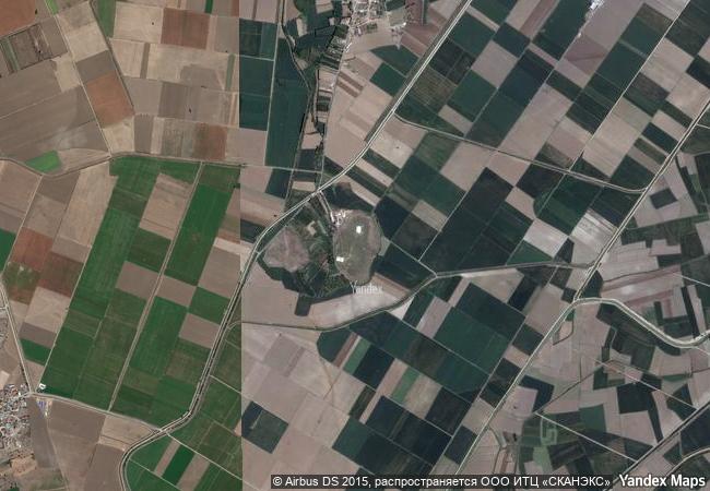
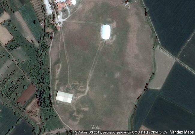
description two hills form the 37 ha site on the southern anatolian plateau. the taller eastern mound contains eighteen levels of neolithic occupation between 7400 bc and 6200 bc, including wall paintings, reliefs, sculptures and other symbolic and artistic features. together they testify to the evolution of social organization and cultural practices as humans adapted to a sedentary life. the western mound shows the evolution of cultural practices in the chalcolithic period, from 6200 bc to 5200 bc. çatalhöyük provides important evidence of the transition from settled villages to urban agglomeration, which was maintained in the same location for over 2,000 years. it features a unique streetless settlement of houses clustered back to back with roof access into the buildings.
★
7.6 M

Turkey
www.X-X-X.NAME
37,66 ° × 32,82 °

37 ° 40 ′ 00 ″ N × 32 ° 50 ′ 41 ″ E
8.909.68 km

338 ° N
Türkiye, Konya, Cumra District, Kucukkoy Neighborhood

Türkiye / Konya / Cumra District / Kucukkoy Neighborhood
☆
Bahla Fort

Oasis of Bahla, 25 km west of Nazwa

11.670.25 km
☆
Jodensavanne Archaeological Site: Jodensavanne Settlement and Cassipora Creek Cemetery

Latin America and the Caribbean

4.369.16 km
☆
Group of Monuments at Hampi

Karnataka, Bellary District

13.392.57 km
☆
Deer Stone Monuments and Related Bronze Age Sites

Asia and the Pacific

10.364.02 km
☆
Churches of the Pskov School of Architecture

Europe and North America

7.244.00 km
☆
Funerary and memory sites of the First World War (Western Front)

Europe and North America

8.930.39 km
☆
Soltaniyeh

Zanjan province

9.979.92 km
☆
Kunta Kinteh Island and Related Sites

Lower Niumi and Upper Niumi districts
and Banjul Municipality

6.597.94 km
☆
Historic Fortified City of Carcassonne

Department of Aude, Languedoc-Roussillon Region

6.441.09 km
☆
Zollverein Coal Mine Industrial Complex in Essen

State of North Rhine-Westphalia (Nordrhein-Westfalen)

6.380.98 km
☆
Major Town Houses of the Architect Victor Horta (Brussels)

Europe and North America

6.236.90 km
☆
Fagus Factory in Alfeld

Europe and North America

6.532.46 km

©

1 X ™


BRAND • COM • CORP • GLOBAL • INT

AAA • BASE • GRAND • HIGH • ORIGINAL • QUALITY • TOP • UNIQUE

™X-X-X•NAME
1 X ™ unesco
Info
Map
similar
language
▼ ▼ ▼
guest


1 X
™
-4
IP : America/New_York
-4
IP : America/New_York
▼ ▼ ▼
►
►