1 xXx X ™
⬤
unesco
⬤


☆
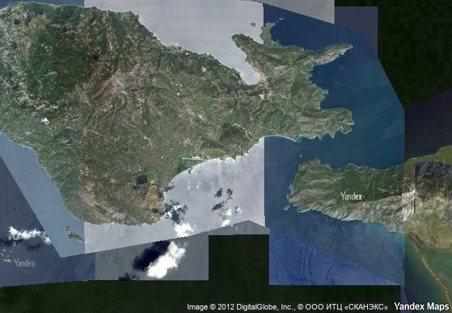
Pythagoreion and Heraion of Samos

Prefecture of Samos, Region of the North Aegean

8.816.98 km
☆
★★★★☆
0

Pythagoreion and Heraion of Samos


Prefecture of Samos, Region of the North Aegean
Identifier 595
states gr
category cultural
criteria (ii)(iii)
Title pythagoreion and heraion of samos
latitude 37.6908302307
longitude 26.9433307648
location prefecture of samos, region of the north aegean
Region europe and north america
year 1992
unique number 703
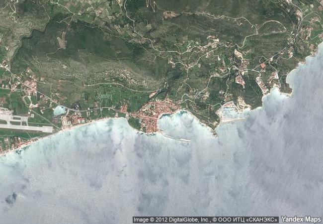
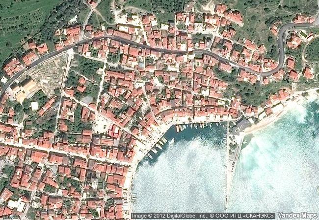
description many civilizations have inhabited this small aegean island, near asia minor, since the 3rd millennium b.c. the remains of pythagoreion, an ancient fortified port with greek and roman monuments and a spectacular tunnel-aqueduct, as well as the heraion, temple of the samian hera, can still be seen.
◆
2.2 M

Greece
www.X-X-X.NAME
37,69 ° × 26,94 °

37 ° 41 ′ 27 ″ N × 26 ° 57 ′ 36 ″ E
8.816.98 km

1 ° N>NE
Greece, North Aegean Region, Samos Island

Aegean Sea / Greece / North Aegean Region / Samos Island
☆
Gyeongju Historic Areas

Gyeongju City, Gyeongsangbuk-do Province

10.969.48 km
☆
Cultural Landscape of Honghe Hani Rice Terraces

Asia and the Pacific

12.978.44 km
☆
Routes of Santiago de Compostela in France

Regions of Aquitaine, Auvergne, Basse-Normandie, Bourgogne, Centre, Champagne-Ardenne, Ile-de-France, Languedoc-Roussillon, Limousin, Midi-Pyrénées, Picardie, Poitou-Charentes, and Provence-Alpes-Côte d’Azur

6.563.25 km
☆
Cueva de las Manos, Río Pinturas

Patagonia Region, Santa Cruz Province

9.762.75 km
☆
Sanctuary of Bom Jesus do Congonhas

State of Minas Gerais, City of Congonhas

7.852.50 km
☆
Djerba: Testimony to a settlement pattern in an island territory

Arab States

7.981.10 km
☆
The Historic Centre of Odesa

Europe and North America

8.376.09 km
☆
Hiraizumi – Temples, Gardens and Archaeological Sites Representing the Buddhist Pure Land

Asia and the Pacific

10.157.55 km
☆
Phu Phrabat, a testimony to the Sīma stone tradition of the Dvaravati period

Asia and the Pacific

13.576.28 km
☆
Agricultural Landscape of Southern Öland

Kalmar County, Island of Öland

6.930.26 km
☆
Rock Shelters of Bhimbetka

Madhya Pradesh

12.738.16 km
☆
Upper Svaneti

Village of Chajashi, Mestia district, Region of Samegrelo-Zemo Svateni

9.322.80 km

©

1 X ™


BRAND • COM • CORP • GLOBAL • INT

AAA • BASE • GRAND • HIGH • ORIGINAL • QUALITY • TOP • UNIQUE

™X-X-X•NAME
1 X ™ unesco
Info
Map
similar
language
▼ ▼ ▼
guest


1 X
™
-5
IP : America/New_York
-5
IP : America/New_York
▼ ▼ ▼
►
►