X 1 xXx ™
1
⬤
unesco
⬤


☆
Birthplace of Jesus: Church of the Nativity and the Pilgrimage Route, Bethlehem

Arab States

9.820.87 km
☆
★★★★☆
0

Birthplace of Jesus: Church of the Nativity and the Pilgrimage Route, Bethlehem


Identifier 1433
states ps
category cultural
criteria (iv)(vi)
Title birthplace of jesus: church of the nativity and the pilgrimage route, bethlehem
latitude 31.7043533325
longitude 35.2075004578
Region arab states
year 2012
unique number 1922
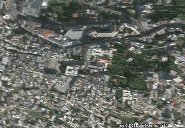
description the inscribed property is situated 10 km south of jerusalem on the site identified by christian tradition as the birthplace of jesus since the 2nd century. a church was first completed there in ad 339 and the edifice that replaced it after a fire in the 6th century retains elaborate floor mosaics from the original building. the site also includes latin, greek orthodox, franciscan and armenian convents and churches, as well as bell towers, terraced gardens and a pilgrimage route.
★
8.77 M

Palestine
★
542.4 K

Bethlehem
www.X-X-X.NAME
31,70 ° × 35,20 °

31 ° 42 ′ 16 ″ N × 35 ° 12 ′ 27 ″ E
9.820.87 km

242 ° W>SW
Palestine, Bethlehem

Palestine / West Bank / Bethlehem
☆
Central Sector of the Imperial Citadel of Thang Long - Hanoi

Asia and the Pacific

13.170.91 km
☆
Old town of Kuldīga

Europe and North America

7.172.19 km
☆
Gaya Tumuli

Asia and the Pacific

11.038.53 km
☆
Byblos

City and district of Jbeil, Governorate of Mount Lebanon

9.650.28 km
☆
Ivrea, industrial city of the 20th century

Europe and North America

7.036.65 km
☆
Garden Kingdom of Dessau-Wörlitz

State of Saxony-Anhalt (Sachsen-Anhalt)

6.960.28 km
☆
Coffee Cultural Landscape of Colombia

Latin America and the Caribbean

3.966.27 km
☆
Sansa, Buddhist Mountain Monasteries in Korea

Asia and the Pacific

10.943.63 km
☆
Historic Monuments of Ancient Kyoto (Kyoto, Uji and Otsu Cities)

Kyoto and Shiga prefectures

10.783.39 km
☆
Baalbek

City and District of Baalbek, Beqaa Governorate

9.694.12 km
☆
Gobustan Rock Art Cultural Landscape

Garadagh District and Apsheron District, Baku City Administrative Territory

9.887.24 km
☆
Rock Art of Alta

Alta municipality, county of Finnmark

6.448.13 km

©

1 X ™


BRAND • COM • CORP • GLOBAL • INT

AAA • BASE • GRAND • HIGH • ORIGINAL • QUALITY • TOP • UNIQUE

™X-X-X•NAME
1 X ™ unesco
Info
Map
similar
language
▼ ▼ ▼
guest


1 X
™
-5
IP : America/New_York
-5
IP : America/New_York
▼ ▼ ▼
►
►