Rila Monastery
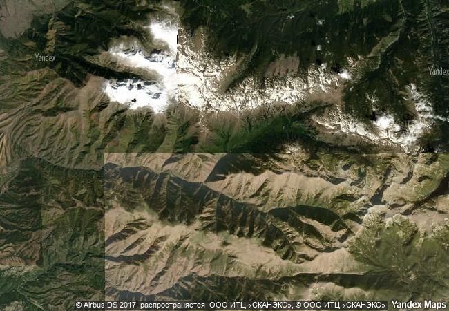
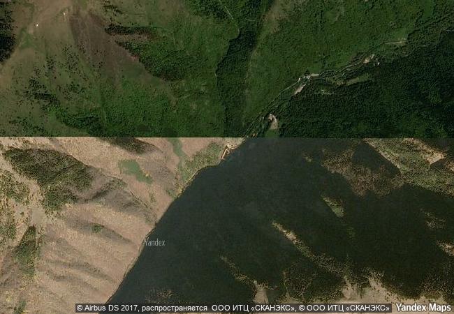
On the slopes of Rila, the highest Balkan Peninsula Mountain, in the valley of the Rilska River, 29 km east of the Sofia-Thessaloniki Highway. Rila, Kyustendil Province
|

|
Identifier |
216 |
|

|
states |
bg |
|

|
category |
cultural |
|

|
criteria |
(vi) |
|

|
Title |
rila monastery |
|

|
latitude |
42.1332969666 |
|

|
longitude |
23.3401870728 |
|

|
location |
on the slopes of rila, the highest balkan peninsula mountain, in the valley of the rilska river, 29 km east of the sofia-thessaloniki highway. rila, kyustendil province |
|

|
Region |
europe and north america |
|

|
year |
1983 |
|

|
unique number |
239 |
|

|
description |
rila monastery was founded in the 10th century by st john of rila, a hermit canonized by the orthodox church. his ascetic dwelling and tomb became a holy site and were transformed into a monastic complex which played an important role in the spiritual and social life of medieval bulgaria. destroyed by fire at the beginning of the 19th century, the complex was rebuilt between 1834 and 1862. a characteristic example of the bulgarian renaissance (18th–19th centuries), the monument symbolizes the awareness of a slavic cultural identity following centuries of occupation. |
|


 1 X ™ unesco
 Info
Info
 Map
Map
 similar
 language


 0
0