xXx 1 X ™
1
⬤
unesco
⬤


☆
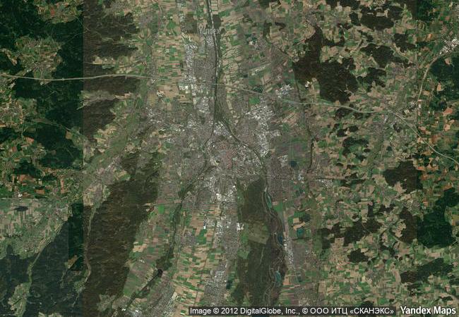
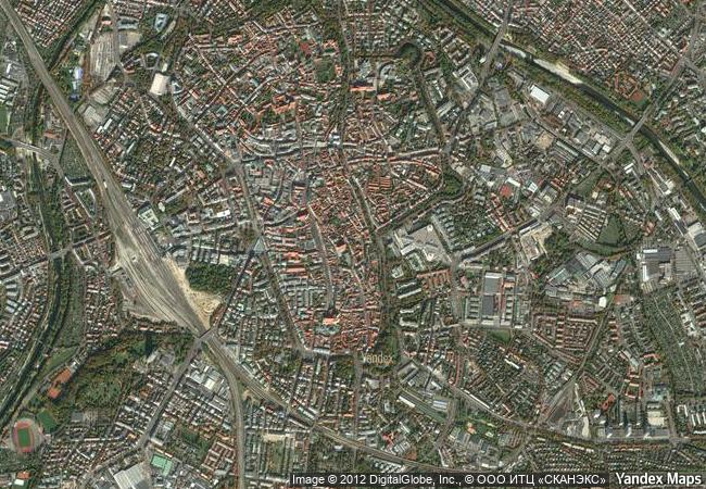
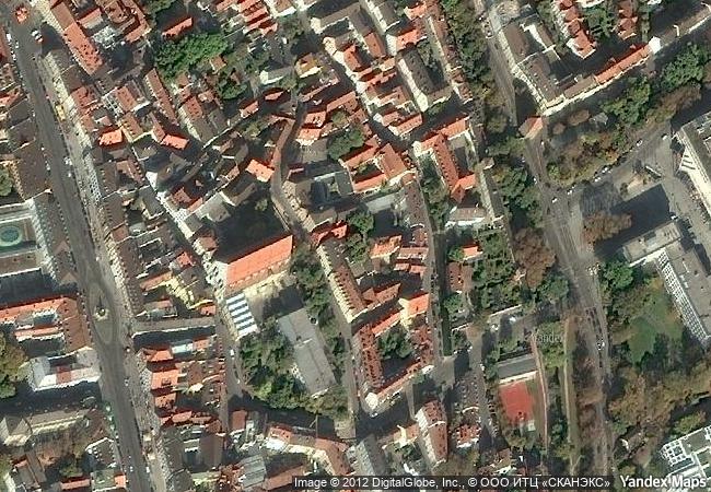
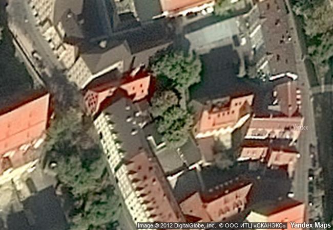
Water Management System of Augsburg

Europe and North America

6.779.33 km
☆
★★★★☆
0

Water Management System of Augsburg


Identifier 1580
states de
category cultural
criteria (ii)(iv)
Title water management system of augsburg
latitude 48.3654708862
longitude 10.9020004272
Region europe and north america
year 2019
unique number 2266
description the water management system of the city of augsburg has evolved in successive phases from the 14th century to the present day. it includes a network of canals, water towers dating from the 15th to 17th centuries, which housed pumping machinery, a water-cooled butchers’ hall, a system of three monumental fountains and hydroelectric power stations, which continue to provide sustainable energy today. the technological innovations generated by this water management system have helped establish augsburg as a pioneer in hydraulic engineering.
★
4.23 M
(1)

Germany
☆
389.1 K

Augsburg
www.X-X-X.NAME
48,36 ° × 10,90 °

48 ° 22 ′ 56 ″ N × 10 ° 54 ′ 07 ″ E
6.779.33 km

299 ° NW
Germany, Free State of Bavaria, Augsburg

Germany / Free State of Bavaria / Augsburg
☆
Rice Terraces of the Philippine Cordilleras

Ifugao Province, Cordillera Region, Luzon Island

13.496.07 km
☆
Sansa, Buddhist Mountain Monasteries in Korea

Asia and the Pacific

11.218.84 km
☆
Cultural Landscape of Bali Province: the Subak System as a Manifestation of the Tri Hita Karana Philosophy

Asia and the Pacific

16.358.04 km
☆
Independence Hall

Philadelphia, Commonwealth of Pennsylvania

224.38 km
☆
Historical Monuments at Makli, Thatta

Province of Sind

12.059.42 km
☆
Antigua Naval Dockyard and Related Archaeological Sites

Latin America and the Caribbean

2.885.98 km
☆
Imperial Palaces of the Ming and Qing Dynasties in Beijing and Shenyang

Asia and the Pacific

10.780.36 km
☆
Seowon, Korean Neo-Confucian Academies

Asia and the Pacific

11.168.46 km
☆
Funerary and memory sites of the First World War (Western Front)

Europe and North America

8.930.39 km
☆
Royal Palaces of Abomey

Province du Zou

8.597.11 km
☆
Khami Ruins National Monument

Western Region, Matabeleland

12.743.63 km
☆
Verla Groundwood and Board Mill

Municipalities of Jaala and Valkeala, Region of Kymenlaakso, Province of Southern Finland

6.965.58 km

©

1 X ™


BRAND • COM • CORP • GLOBAL • INT

AAA • BASE • GRAND • HIGH • ORIGINAL • QUALITY • TOP • UNIQUE

™X-X-X•NAME
1 X ™ unesco
Info
Map
similar
language
▼ ▼ ▼
guest


1 X
™
-4
IP : America/New_York
-4
IP : America/New_York
▼ ▼ ▼
►
►