Minaret and Archaeological Remains of Jam
Shahrak District, Ghur Province
|

|
Identifier |
211 |
|

|
states |
af |
|

|
category |
cultural |
|

|
criteria |
(ii)(iii)(iv) |
|

|
Title |
minaret and archaeological remains of jam |
|

|
latitude |
34.3964157104 |
|

|
longitude |
64.5158920288 |
|

|
location |
shahrak district, ghur province |
|

|
Region |
asia and the pacific |
|

|
year |
2002 |
|

|
unique number |
234 |
|

|
description |
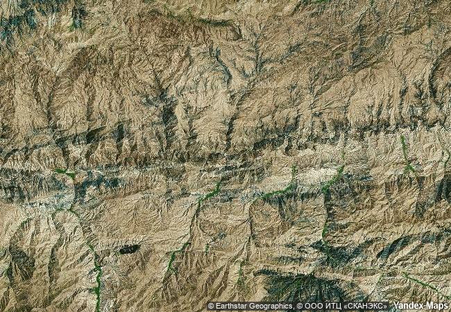
the 65m-tall minaret of jam is a graceful, soaring structure, dating back to the 12th century. covered in elaborate brickwork with a blue tile inscription at the top, it is noteworthy for the quality of its architecture and decoration, which represent the culmination of an architectural and artistic tradition in this region. its impact is heightened by its dramatic setting, a deep river valley between towering mountains in the heart of the ghur province. |
|

|
justification |
criterion (ii): the innovative architecture and decoration of the minaret of jam played a significant role in the development of the arts and architecture of the indian sub-continent and beyond.
criterion (iii): the minaret of jam and its associated archaeological remains constitute exceptional testimony to the power and quality of the ghurid civilization that dominated its region in the 12th and 13th centuries.
criterion (iv): the minaret of jam is an outstanding example of islamic architecture and ornamentation in this region and played a significant role in their further dissemination. |
|

|
danger |
y 2002 |
|


 0
0


 1 X ™ unesco
 Info
Info
 Map
Map
 similar
 language