X 1 xXx
unesco


Arslantepe Mound

Europe and North America

9.458.58 km
0

Arslantepe Mound


Identifier 1622
states tr
category cultural
criteria (iii)
Title arslantepe mound
latitude 38.3821983337
longitude 38.3610916138
Region europe and north america
year 2021
unique number 2351
description 
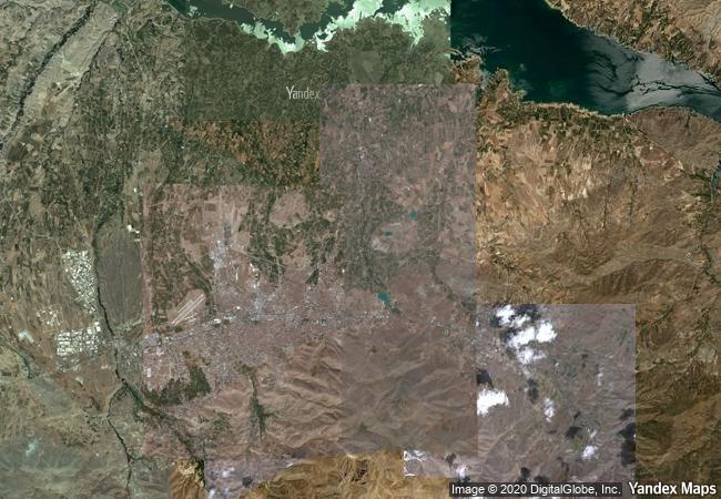
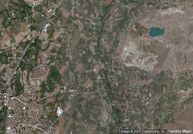
arslantepe mound is a 30-metre-tall archaeological tell located in the malatya plain, 15 km south-west of the euphrates river. archaeological evidence from the site testifies to its occupation from at least the 6th millennium bce up until the medieval period. the earliest layers belong to the late chalcolithic 1-2 periods, contemporary to early uruk in southern mesopotamia (4300-3900 bce) and are characterized by adobe houses. the most prominent and flourishing period of the site was in the late chalcolithic 5 period, during which the so-called palace complex was constructed. considerable evidence also testifies to the early bronze age period, most prominently identified by the royal tomb complex. the archaeological stratigraphy then extends to the middle and late bronze ages and hittite periods, including neo-hittite levels. the site illustrates the processes which led to the emergence of a state society in the near east and a sophisticated bureaucratic system that predates writing. exceptional metal objects and weapons have been excavated at the site, among them the earliest swords so far known in the world, which suggests the beginning of forms of organized combat as the prerogative of an elite, who -at arslantepe- exhibited them as instruments of their new political power. 
4.6 M

Turkey
www.X-X-X.NAME
38.3821983337 ° × 38.3610916138 °

38 ° 23 ′ 56 ″ N × 38 ° 22 ′ 40 ″ E
9.458.58 km

102 ° E>SE
Türkiye, Malatya, Battalgazi, Orduzu Mah.

Türkiye / Malatya / Battalgazi / Orduzu Mah.
Namhansanseong

Asia and the Pacific

10.869.95 km
Sacri Monti of Piedmont and Lombardy

Regions of Lombardy and Piedmont

7.093.55 km
Palace and Park of Versailles

Department of Yvelines, Ile-de-France

6.477.22 km
Sanctuary of Asklepios at Epidaurus

Prefecture of Argolis, Region of the Peloponnesos

8.570.70 km
Historic Centre of Český Krumlov

South Bohemian Region

7.252.91 km
Lavaux, Vineyard Terraces

Europe and North America

6.903.84 km
Ir.D.F. Woudagemaal (D.F. Wouda Steam Pumping Station)

Lemmer, Lemsterland Municipality, Province of Friesland

6.504.63 km
Ciudad Universitaria de Caracas

Municipality of Libertador, Caracas

3.642.29 km
Routes of Santiago de Compostela in France

Regions of Aquitaine, Auvergne, Basse-Normandie, Bourgogne, Centre, Champagne-Ardenne, Ile-de-France, Languedoc-Roussillon, Limousin, Midi-Pyrénées, Picardie, Poitou-Charentes, and Provence-Alpes-Côte d’Azur

6.563.52 km
Boyana Church

Boyana district, Sofia

8.218.45 km
La Chaux-de-Fonds / Le Locle, Watchmaking Town Planning

Europe and North America

6.875.83 km
Garden Kingdom of Dessau-Wörlitz

State of Saxony-Anhalt (Sachsen-Anhalt)

6.960.41 km

©

1 X ™


BRAND COM CORP GLOBAL INT

AAA BASE GRAND HIGH ORIGINAL QUALITY TOP UNIQUE

X-X-X•NAME
1 X ™ unesco
Info
Map
similar
language
guest


1 X
-4
IP : America/New_York
-4
IP : America/New_York