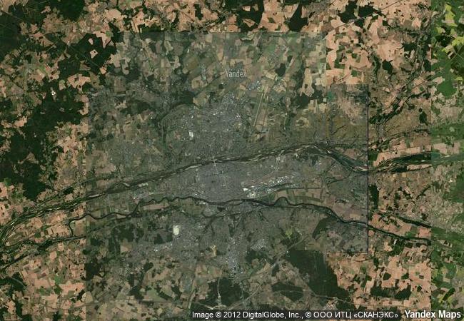
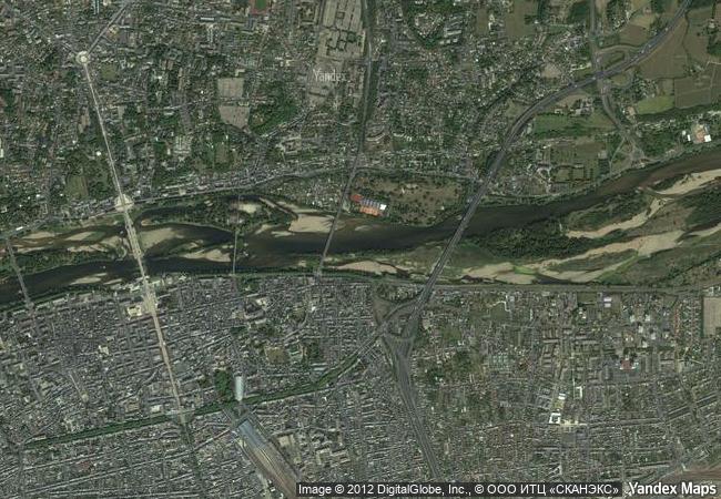
The Loire Valley between Sully-sur-Loire and Chalonnes
|

|
Identifier |
933 |
|

|
states |
fr |
|

|
category |
cultural |
|

|
criteria |
(i)(ii)(iv) |
|

|
Title |
the loire valley between sully-sur-loire and chalonnes |
|

|
latitude |
47.3988914490 |
|

|
longitude |
0.7027800083 |
|

|
Region |
europe and north america |
|

|
year |
2000 |
|

|
unique number |
2250 |
|

|
description |
the loire valley is an outstanding cultural landscape of great beauty, containing historic towns and villages, great architectural monuments (the châteaux), and cultivated lands formed by many centuries of interaction between their population and the physical environment, primarily the river loire itself. |
|

|
justification |
criterion (i): the loire valley is noteworthy for the quality of its architectural heritage, in its historic towns such as blois, chinon, orléans, saumur, and tours, but in particular in its world-famous castles, such as the château de chambord.
criterion (ii): the loire valley is an outstanding cultural landscape along a major river which bears witness to an interchange of human values and to a harmonious development of interactions between human beings and their environment over two millennia.
criterion (iv): the landscape of the loire valley, and more particularly its many cultural monuments, illustrate to an exceptional degree the ideals of the renaissance and the age of the enlightenment on western european thought and design. |
|


 0
0




 1 X ™ unesco
 Info
Info
 Map
Map
 similar
 language