X 1 xXx
unesco


Frontiers of the Roman Empire

Europe and North America

5.912.78 km
0

Frontiers of the Roman Empire


Identifier 430
states de,gb
category cultural
criteria (ii)(iii)(iv)
Title frontiers of the roman empire
latitude 54.9926109314
longitude -2.6010000706
Region europe and north america
year 1987
unique number 1539
description 
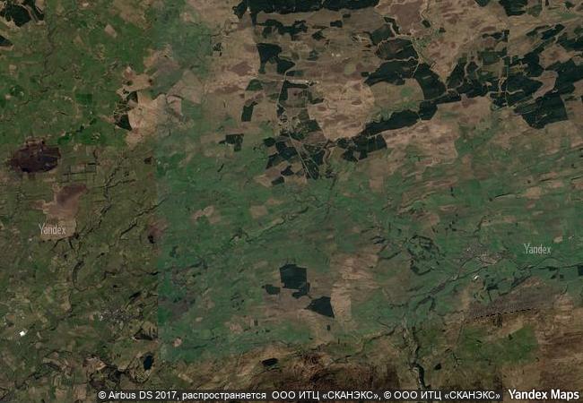
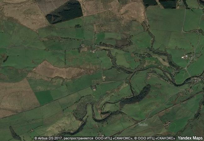
the ‘roman limes’ represents the border line of the roman empire at its greatest extent in the 2nd century ad. it stretched over 5,000 km from the atlantic coast of northern britain, through europe to the black sea, and from there to the red sea and across north africa to the atlantic coast. the remains of the limes today consist of vestiges of built walls, ditches, forts, fortresses, watchtowers and civilian settlements. certain elements of the line have been excavated, some reconstructed and a few destroyed. the two sections of the limes in germany cover a length of 550 km from the north-west of the country to the danube in the south-east. the 118-km-long hadrian’s wall (uk) was built on the orders of the emperor hadrian c. ad 122 at the northernmost limits of the roman province of britannia. it is a striking example of the organization of a military zone and illustrates the defensive techniques and geopolitical strategies of ancient rome. the antonine wall, a 60-km long fortification in scotland was started by emperor antonius pius in 142 ad as a defense against the “barbarians” of the north. it constitutes the northwestern-most portion of the roman limes.
extension 1
transboundary 1
7.9 M

United Kingdom
www.X-X-X.NAME
54.9926109314 ° × -2.6010000706 °

54 ° 60 ′ 33 ″ N × 2 ° 36 ′ 04 ″ W
5.912.78 km

358 ° N
United Kingdom, England, Cumbria County

Atlantic Ocean / British Isles / United Kingdom / Great Britain / England / Cumbria County
Rock Art in the Hail Region of Saudi Arabia

Arab States

10.491.97 km
Historic Centre of Santa Cruz de Mompox

Bolívar Department

3.520.36 km
Archaeological Landscape of the First Coffee Plantations in the South-East of Cuba

Santiago and Guantanamo Provinces, South-Eastern Region

2.332.17 km
Rideau Canal

Province of Ontario

815.28 km
Parthian Fortresses of Nisa

Bagyr settlement, Etrap of Rukhabad, Akhal Vilayet

10.487.80 km
Aachen Cathedral

State of North Rhine-Westphalia (Nordrhein-Westfalen)

6.632.97 km
Rhaetian Railway in the Albula / Bernina Landscapes

Europe and North America

7.107.56 km
As-Salt - The Place of Tolerance and Urban Hospitality

Arab States

9.826.43 km
Ħal Saflieni Hypogeum

Commune of Paola, Island of Malta

8.098.82 km
Routes of Santiago de Compostela in France

Regions of Aquitaine, Auvergne, Basse-Normandie, Bourgogne, Centre, Champagne-Ardenne, Ile-de-France, Languedoc-Roussillon, Limousin, Midi-Pyrénées, Picardie, Poitou-Charentes, and Provence-Alpes-Côte d’Azur

6.563.52 km
Plantin-Moretus House-Workshops-Museum Complex

City of Antwerp, Flanders Region

6.505.40 km
Bisotun

Province of Kermanshah

10.310.52 km

©

1 X ™


BRAND COM CORP GLOBAL INT

AAA BASE GRAND HIGH ORIGINAL QUALITY TOP UNIQUE

X-X-X•NAME
1 X ™ unesco
Info
Map
similar
language
guest


1 X
-4
IP : America/New_York
-4
IP : America/New_York