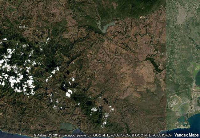
Archaeological Landscape of the First Coffee Plantations in the South-East of Cuba
Santiago and Guantanamo Provinces, South-Eastern Region
|

|
Identifier |
1008 |
|

|
states |
cu |
|

|
category |
cultural |
|

|
criteria |
(iii)(iv) |
|

|
Title |
archaeological landscape of the first coffee plantations in the south-east of cuba |
|

|
latitude |
20.0300006866 |
|

|
longitude |
-75.3913879395 |
|

|
location |
santiago and guantanamo provinces, south-eastern region |
|

|
Region |
latin america and the caribbean |
|

|
year |
2000 |
|

|
unique number |
1178 |
|

|
description |
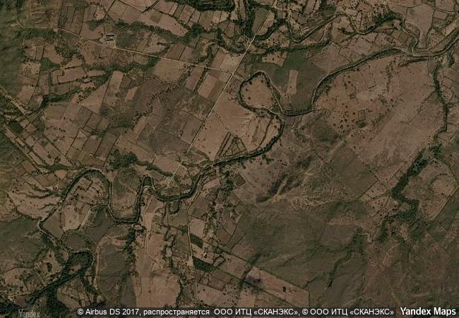
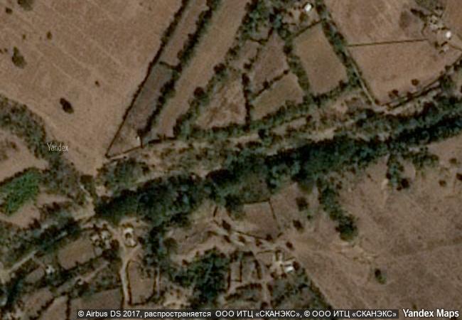
the remains of the 19th-century coffee plantations in the foothills of the sierra maestra are unique evidence of a pioneer form of agriculture in a difficult terrain. they throw considerable light on the economic, social, and technological history of the caribbean and latin american region. |
|

|
justification |
criterion iii the remains of the 19th and early 20th century coffee plantations in eastern cuba are unique and eloquent testimony to a form of agricultural exploitation of virgin forest, the traces of which have disappeared elsewhere in the world. criterion iv the production of coffee in eastern cuba during the 19th and early 20th centuries resulted in the creation of a unique cultural landscape, illustrating a significant stage in the development of this form of agriculture. |
|


 0
0


 1 X ™ unesco
 Info
Info
 Map
Map
 similar
 language