1 X xXx
unesco


Qhapaq Ñan, Andean Road System

Latin America and the Caribbean

6.620.73 km
0

Qhapaq Ñan, Andean Road System


Identifier 1459
states ar,bo,cl,co,ec,pe
category cultural
criteria (ii)(iii)(iv)(vi)
Title qhapaq ñan, andean road system
latitude -18.2500000000
longitude -69.5916671753
Region latin america and the caribbean
year 2014
unique number 2003
description 
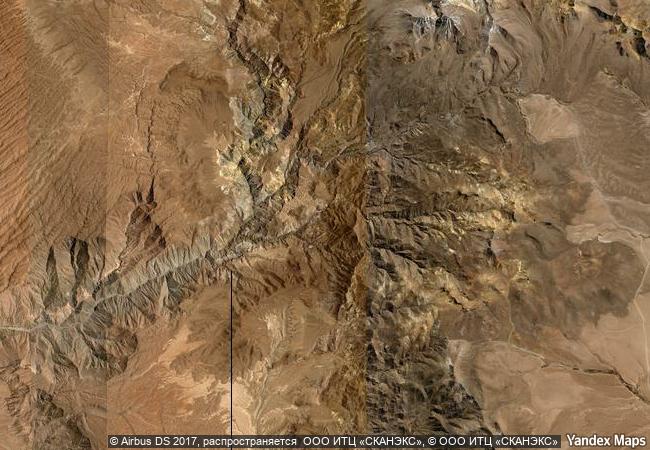
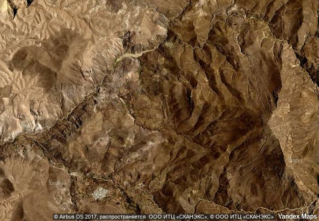
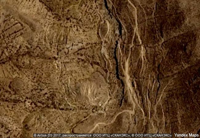
this site is an extensive inca communication, trade and defence network of roads covering 30,000 km. constructed by the incas over several centuries and partly based on pre-inca infrastructure, this extraordinary network through one of the world’s most extreme geographical terrains linked the snow-capped peaks of the andes – at an altitude of more than 6,000 m – to the coast, running through hot rainforests, fertile valleys and absolute deserts. it reached its maximum expansion in the 15th century, when it spread across the length and breadth of the andes. the qhapac ñan, andean road system includes 273 component sites spread over more than 6,000 km that were selected to highlight the social, political, architectural and engineering achievements of the network, along with its associated infrastructure for trade, accommodation and storage, as well as sites of religious significance.  
transboundary 1
8.9 M

Chile
www.X-X-X.NAME
-18,25 ° × -69,59 °

18 ° 15 ′ 00 ″ S × 69 ° 36 ′ 30 ″ W
6.620.73 km

141 ° S>SE
Chile, Región de Arica y Parinacota, Provincia de Parinacota, Comuna de Putre

Andes / Chile / Peru / Cordillera Occidental / Región de Arica y Parinacota / Provincia de Parinacota / Comuna de Putre
Phu Phrabat, a testimony to the Sīma stone tradition of the Dvaravati period

Asia and the Pacific

13.575.80 km
Archaeological Area and the Patriarchal Basilica of Aquileia

Province of Udine, Friuli-Venezia Giulia Region

7.379.78 km
Cahokia Mounds State Historic Site

Collinsville, Illinois

623.88 km
Sceilg Mhichíl

County Kerry

5.521.06 km
Historic Quarter of the City of Colonia del Sacramento

Department de Colonia

8.669.88 km
Protective town of San Miguel and the Sanctuary of Jesús Nazareno de Atotonilco

Guanajuato Region

2.705.19 km
Gamzigrad-Romuliana, Palace of Galerius

Eastern Serbia

8.062.16 km
Urban Historic Centre of Cienfuegos

Municipality of Cienfuegos

1.995.74 km
Jewish-Medieval Heritage of Erfurt

Europe and North America

6.926.01 km
Ruins of Loropéni

Africa

8.379.69 km
Pilgrimage Church of Wies

Town of Steingaden, District of Weilheim-Schongau, Region of Upper Bavaria, State of Bavaria (Bayern)

7.106.62 km
Chief Roi Mata’s Domain

Asia and the Pacific

12.840.18 km

©

1 X ™


BRAND COM CORP GLOBAL INT

AAA BASE GRAND HIGH ORIGINAL QUALITY TOP UNIQUE

X-X-X•NAME
1 X ™ unesco
Info
Map
similar
language
guest


1 X
-4
IP : America/New_York
-4
IP : America/New_York