|
|


| |||||
|
|
 0
0
|

|

|

|
|
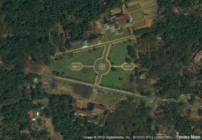
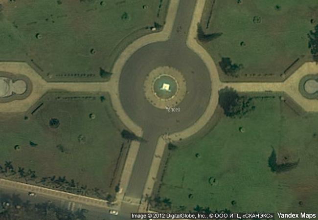
Churches and Convents of Goa |
|||

|
|||

|
|||

|
|||

|
|||

|
|||

|
|||

|
|||

|
|||

|
|||

|
|||

|
|||

|
|||
5.68 M
|
|
|
|
|
|
15,50 ° × 73,91 ° |
13.400.81 |
|
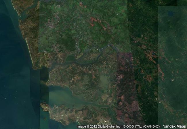
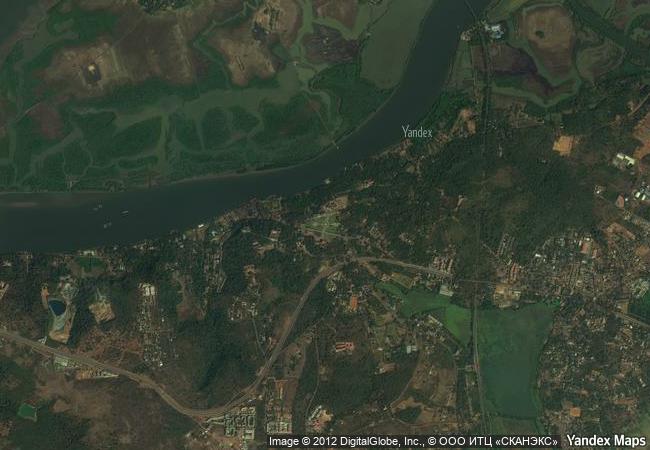
India, Goa, North Goa County, Tiswadi Subdistrict, Village of Old Goa |
|
|
|
|
|


|

|
|

|

|

|

|

|

|

|

|

|

|

|

|

|
 1 X ™ unesco
|
 Info
Info
|
 Map
Map
|
 similar
|
 language
|
|
|
|
|
|
|
|
|
|
|

|

|

|

|

|

|

|
|
| ▼ ▼ ▼ | |
|
|

|

|

|
|
► ► |