Archaeological Zone of Paquimé, Casas Grandes
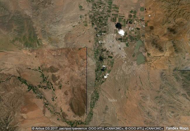
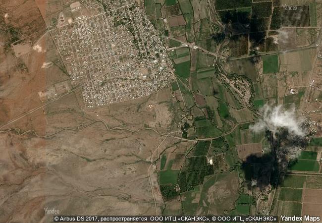
Municipality of Casas Grandes, State of Chihuahua
|

|
Identifier |
560 |
|

|
states |
mx |
|

|
category |
cultural |
|

|
criteria |
(iii)(iv) |
|

|
Title |
archaeological zone of paquimé, casas grandes |
|

|
latitude |
30.3671283722 |
|

|
longitude |
-107.9481201172 |
|

|
location |
municipality of casas grandes, state of chihuahua |
|

|
Region |
latin america and the caribbean |
|

|
year |
1998 |
|

|
unique number |
662 |
|

|
description |
paquimé, casas grandes, which reached its apogee in the 14th and 15th centuries, played a key role in trade and cultural contacts between the pueblo culture of the south-western united states and northern mexico and the more advanced civilizations of mesoamerica. the extensive remains, only part of which have been excavated, are clear evidence of the vitality of a culture which was perfectly adapted to its physical and economic environment, but which suddenly vanished at the time of the spanish conquest. |
|

|
justification |
criterion iii: paquimé casas grandes bears eloquent and abundant testimony to an important element in the cultural evolution of north america, and in particular to prehispanic commercial and cultural links. criterion iv: the extensive remains of the archaeological site of paquimé casas grandes provide exceptional evidence of the development of adobe architecture in north america, and in particular of the blending of this with the more advanced techniques of mesoamerica. |
|


 0
0


 1 X ™ unesco
 Info
Info
 Map
Map
 similar
 language