X 1 xXx ™
1
⬤
unesco
⬤


☆
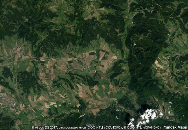
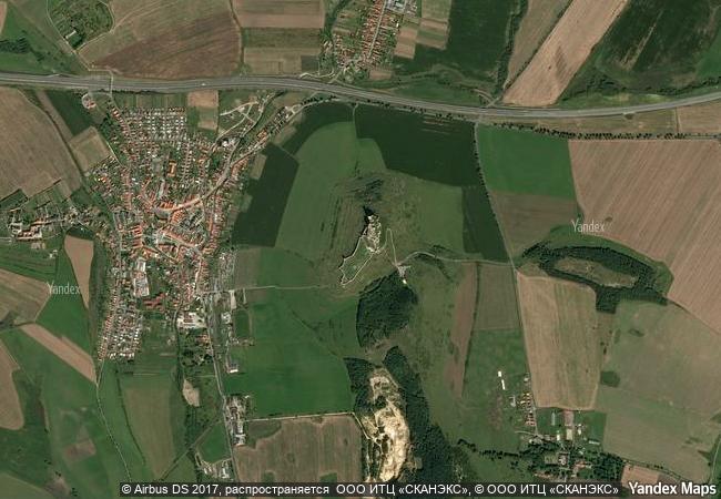
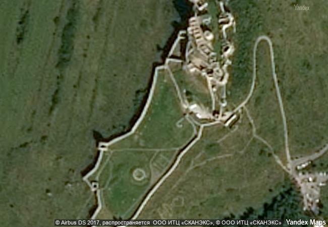
Levoča, Spišský Hrad and the Associated Cultural Monuments

Europe and North America

7.626.91 km
☆
★★★★☆
0

Levoča, Spišský Hrad and the Associated Cultural Monuments


Identifier 620
states sk
category cultural
criteria (iv)
Title levoča, spišský hrad and the associated cultural monuments
latitude 48.9994430542
longitude 20.7674999237
Region europe and north america
year 1993
unique number 1537
description spišský hrad has one of the largest ensembles of 13th and 14th century military, political and religious buildings in eastern europe, and its romanesque and gothic architecture has remained remarkably intact. the extended site features the addition of the historic town-centre of levoča founded in the 13th and 14th centuries within fortifications. most of the site has been preserved and it includes the 14th century church of st james with its ten alters of the 15th and 16th centuries, a remarkable collection of polychrome works in the late gothic style, including an 18.6 metre high alterpiece by completed around 1510 by master paul.
extension 1
★
6.9 M

Slovakia
www.X-X-X.NAME
48,99 ° × 20,76 °

48 ° 60 ′ 58 ″ N × 20 ° 46 ′ 03 ″ E
7.626.91 km

358 ° N
Slovakia, Levoča

Carpathian Mountains / Slovakia / Prešovský kraj / Levoča
☆
The Grand Canal

Asia and the Pacific

11.563.77 km
☆
Vlkolínec

Ružomberok District, Zilina Region

7.536.93 km
☆
Archaeological Site of Olympia

Prefecture of Ilia, Region of West Greece in the Western Peloponnese

8.470.79 km
☆
Djerba: Testimony to a settlement pattern in an island territory

Arab States

7.981.10 km
☆
Bordeaux, Port of the Moon

Department of Gironde, Region of Aquitaine

6.490.04 km
☆
Chhatrapati Shivaji Terminus (formerly Victoria Terminus)

City of Mumbai, Maharashtra State

13.002.85 km
☆
Gobustan Rock Art Cultural Landscape

Garadagh District and Apsheron District, Baku City Administrative Territory

9.887.24 km
☆
Saint Hilarion Monastery/ Tell Umm Amer

Arab States

9.787.81 km
☆
Ancient Thebes with its Necropolis

Governorate of Qina

10.131.71 km
☆
Provins, Town of Medieval Fairs

Department of Seine-et-Marne, Ile-de-France

6.566.66 km
☆
Routes of Santiago de Compostela in France

Regions of Aquitaine, Auvergne, Basse-Normandie, Bourgogne, Centre, Champagne-Ardenne, Ile-de-France, Languedoc-Roussillon, Limousin, Midi-Pyrénées, Picardie, Poitou-Charentes, and Provence-Alpes-Côte d’Azur

6.563.25 km
☆
Island of Saint-Louis

Region of Saint-Louis

6.881.93 km

©

1 X ™


BRAND • COM • CORP • GLOBAL • INT

AAA • BASE • GRAND • HIGH • ORIGINAL • QUALITY • TOP • UNIQUE

™X-X-X•NAME
1 X ™ unesco
Info
Map
similar
language
▼ ▼ ▼
guest


1 X
™
-5
IP : America/New_York
-5
IP : America/New_York
▼ ▼ ▼
►
►