1 xXx X ™
⬤
unesco
⬤


☆
As-Salt - The Place of Tolerance and Urban Hospitality

Arab States

9.531.28 km
☆
★★★★☆
0

As-Salt - The Place of Tolerance and Urban Hospitality


Identifier 689
states jo
category cultural
criteria (ii)(iii)
Title as-salt - the place of tolerance and urban hospitality
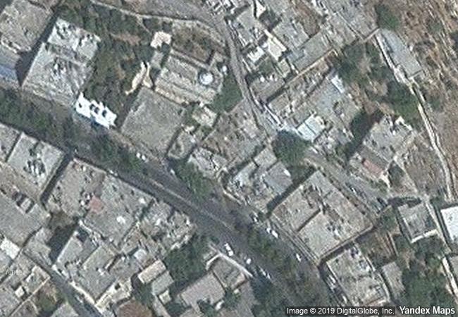
latitude 32.0426101685
longitude 35.7283058167
Region arab states
year 2021
unique number 2383
description built on three closely-spaced hills in the balqa highland of west-central jordan, the city of as-salt, was an important trading link between the eastern desert and the west. during the last 60 years of the ottoman period, the region prospered from the arrival and settlement of merchants from nablus, syria, and lebanon who made their fortunes in trade, banking, and farming. this prosperity attracted skilled craftsmen from different parts of the region who worked on transforming the modest rural settlement into a thriving town with a distinctive layout and an architecture characterized by large public buildings and family residences constructed of local yellow limestone. the site’s urban core includes approximately 650 significant historic buildings exhibiting a blend of european art nouveau and neo-colonial styles combined with local traditions. the city’s non-segregated development expresses tolerance between muslims and christians who developed traditions of hospitality evidenced in madafas (guest houses, known as dawaween) and the social welfare system known as takaful ijtimai’. these tangible and intangible aspects emerged through a melding of rural traditions and bourgeois merchants’ and tradespeople’s practices during the golden age of as-salt’s development between 1860s to 1920s. 
☆
2.6 M

Jordan
www.X-X-X.NAME
32,04 ° × 35,72 °

32 ° 03 ′ 33 ″ N × 35 ° 44 ′ 42 ″ E
9.531.28 km

171 ° S
Jordan, Al Balqa`

Jordan / Al Balqa`
☆
Tarnowskie Góry Lead-Silver-Zinc Mine and its Underground Water Management System

Europe and North America

7.168.29 km
☆
National History Park – Citadel, Sans Souci, Ramiers

Département du Nord

2.223.04 km
☆
Stonehenge, Avebury and Associated Sites

Wiltshire, England

5.816.99 km
☆
Qal’at al-Bahrain – Ancient Harbour and Capital of Dilmun

Northern Region

10.970.79 km
☆
The par force hunting landscape in North Zealand

Europe and North America

6.502.16 km
☆
Semmering Railway

Between Gloggnitz, State of Lower Austria and Simmering, State of Styria

7.138.47 km
☆
Historic Centre of the Town of Goiás

State of Goiás

6.741.91 km
☆
Abbey of St Gall

Canton of St Gall, Town of St Gall

6.726.10 km
☆
Buddhist Ruins of Takht-i-Bahi and Neighbouring City Remains at Sahr-i-Bahlol

North West Frontier Province

11.271.83 km
☆
Major Town Houses of the Architect Victor Horta (Brussels)

Europe and North America

6.236.90 km
☆
Jodensavanne Archaeological Site: Jodensavanne Settlement and Cassipora Creek Cemetery

Latin America and the Caribbean

4.369.16 km
☆
Ir.D.F. Woudagemaal (D.F. Wouda Steam Pumping Station)

Lemmer, Lemsterland Municipality, Province of Friesland

6.237.13 km

©

1 X ™


BRAND • COM • CORP • GLOBAL • INT

AAA • BASE • GRAND • HIGH • ORIGINAL • QUALITY • TOP • UNIQUE

™X-X-X•NAME
1 X ™ unesco
Info
Map
similar
language
▼ ▼ ▼
guest


1 X
™
-5
IP : America/New_York
-5
IP : America/New_York
▼ ▼ ▼
►
►