|
|


| |||||
|
|
 0
0
|

|

|

|
|
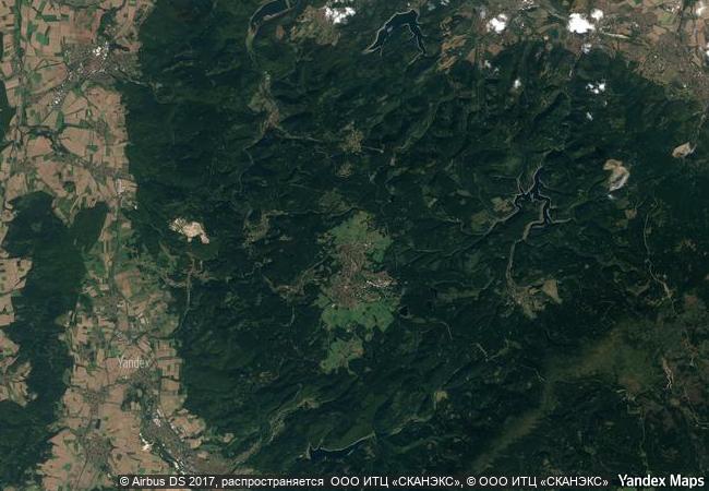
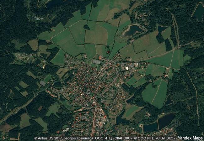
Mines of Rammelsberg, Historic Town of Goslar and Upper Harz Water Management System |
|||

|
|||

|
|||

|
|||

|
|||

|
|||

|
|||

|
|||

|
|||

|
|||

|
|||

|
|||

|
|||
8.7 M
(1) |
|
|
|
|
|
51,81 ° × 10,34 ° |
6.837.96 |
|
Germany, State of Lower Saxony, Goslar, Harz (Landkreis Goslar), Goslarsche Straße |
|
|
|
|
|


|

|

|

|

|

|
|

|

|

|

|

|

|

|

|

|
 1 X ™ unesco
|
 Info
Info
|
 Map
Map
|
 similar
|
 language
|
|
|
|
|
|
|
|
|
|
|

|

|

|

|

|

|

|
|
| ▼ ▼ ▼ | |
|
|

|

|

|
|
► ► |