|
|


| |||||
|
|
 0
0
|

|

|

|
|
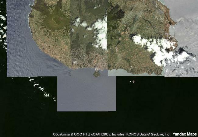
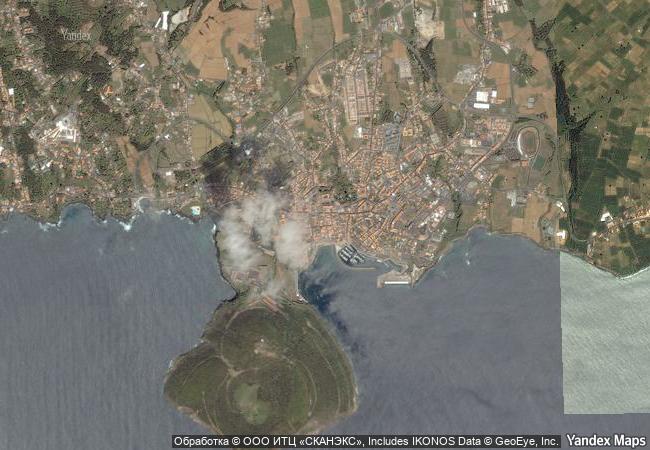
Central Zone of the Town of Angra do Heroismo in the Azores |
|||

|
|||

|
|||

|
|||

|
|||

|
|||

|
|||

|
|||

|
|||

|
|||

|
|||

|
|||

|
|||
8.11 M
(1) |
12.9 K
|
|
|
|
|
38,65 ° × -27,21 ° |
4.720.88 |
|
Portugal, Azores, Angra do Heroísmo, Rua da Palha |
|
|
|

|
|


|

|

|

|

|

|

|

|
|
|

|

|

|

|

|

|

|
 1 X ™ unesco
|
 Info
Info
|
 Map
Map
|
 similar
|
 language
|
|
|
|
|
|
|
|
|
|
|

|

|

|

|

|

|

|
|
| ▼ ▼ ▼ | |
|
|

|

|

|
|
► ► |