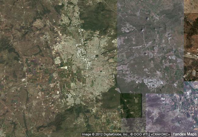
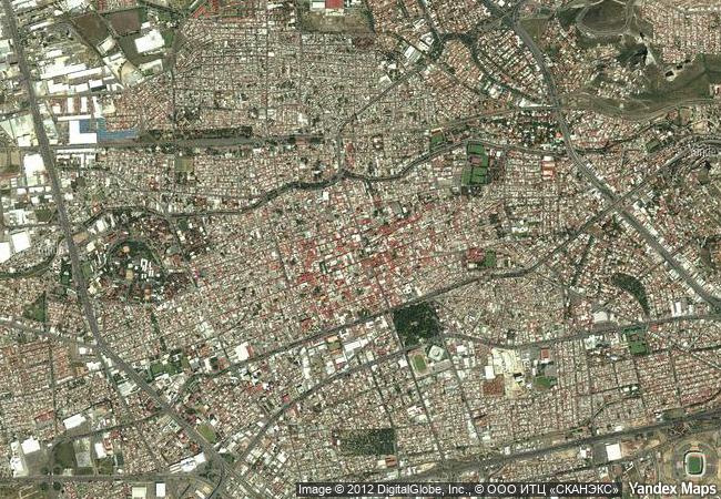
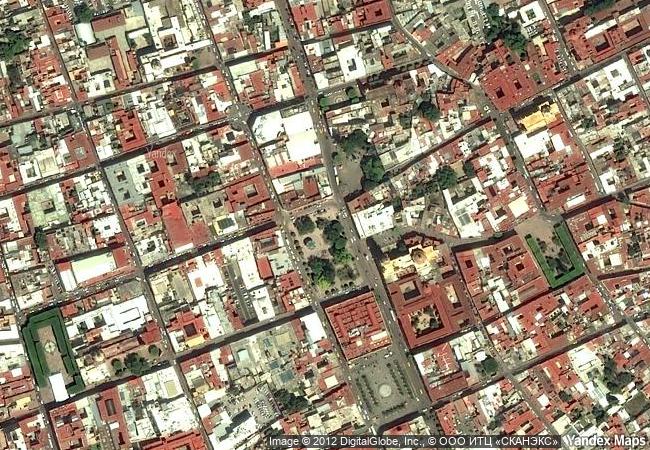
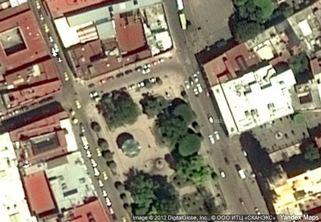
Historic Monuments Zone of Querétaro
Etat Querétaro, municipalité de Querétaro
|

|
Identifier |
792 |
|

|
states |
mx |
|

|
category |
cultural |
|

|
criteria |
(ii)(iv) |
|

|
Title |
historic monuments zone of querétaro |
|

|
latitude |
20.5932922363 |
|

|
longitude |
-100.3921356201 |
|

|
location |
etat querétaro, municipalité de querétaro |
|

|
Region |
latin america and the caribbean |
|

|
year |
1996 |
|

|
unique number |
936 |
|

|
description |
the old colonial town of querétaro is unusual in having retained the geometric street plan of the spanish conquerors side by side with the twisting alleys of the indian quarters. the otomi, the tarasco, the chichimeca and the spanish lived together peacefully in the town, which is notable for the many ornate civil and religious baroque monuments from its golden age in the 17th and 18th centuries. |
|

|
justification |
the committee decided to inscribe the nominated property on the basis of cultural criteria (ii) and (iv) considering that the site is of outstanding universal value and an exceptional example of a colonial town whose layout symbolizes its multi- ethnic population. it is also endowed with a wealth of outstanding buildings, notably from the 17th and 18th centuries. |
|


 0
0


 1 X ™ unesco
 Info
Info
 Map
Map
 similar
 language