Biblical Tels - Megiddo, Hazor, Beer Sheba
|

|
Identifier |
1108 |
|

|
states |
il |
|

|
category |
cultural |
|

|
criteria |
(ii)(iii)(iv)(vi) |
|

|
Title |
biblical tels - megiddo, hazor, beer sheba |
|

|
latitude |
32.5972213745 |
|

|
longitude |
35.1822204590 |
|

|
Region |
europe and north america |
|

|
year |
2005 |
|

|
unique number |
1287 |
|

|
description |
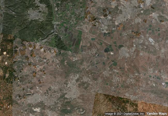
tels (prehistoric settlement mounds), are characteristic of the flatter lands of the eastern mediterranean, particularly lebanon, syria, israel and eastern turkey. of more than 200 tels in israel, megiddo, hazor and beer sheba are representative of those that contain substantial remains of cities with biblical connections. the three tels also present some of the best examples in the levant of elaborate iron age, underground water-collecting systems, created to serve dense urban communities. their traces of construction over the millennia reflect the existence of centralized authority, prosperous agricultural activity and the control of important trade routes. |
|

|
justification |
criterion (ii): the three tels represent an interchange of human values throughout the ancient near-east, forged through extensive trade routes and alliances with other states and manifest in building styles which merged egyptian, syrian and aegean influences to create a distinctive local style.
criterion (iii): the three tels are a testimony to a civilisation that has disappeared –that of the cananean cities of the bronze age and the biblical cities of the iron age-, manifest in their expressions of creativity: town planning, fortifications, palaces, and water collection technologies.
criterion (iv): the biblical cities exerted a powerful influence on later history through the biblical narrative.
criterion (vi): the three tels, through their mentions in the bible, constitute a religious and spiritual testimony of outstanding universal value. |
|



 0




 1 X ™ unesco
 Info
 Map
 similar
 language