X xXx 1 ™
3
⬤
unesco
⬤


☆
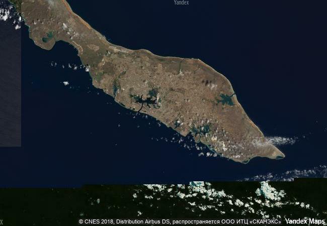
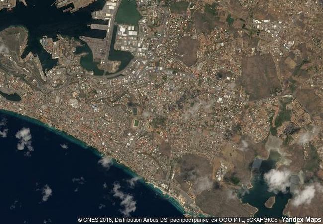
Historic Area of Willemstad, Inner City and Harbour, Curaçao

Europe and North America

3.392.44 km
☆
★★★★☆
0

Historic Area of Willemstad, Inner City and Harbour, Curaçao


Identifier 819
states nl
category cultural
criteria (ii)(iv)(v)
Title historic area of willemstad, inner city and harbour, curaçao
latitude 12.1019401550
longitude -68.9022216797
Region europe and north america
year 1997
unique number 967
description the people of the netherlands established a trading settlement at a fine natural harbour on the caribbean island of curaçao in 1634. the town developed continuously over the following centuries. the modern town consists of several distinct historic districts whose architecture reflects not only european urban-planning concepts but also styles from the netherlands and from the spanish and portuguese colonial towns with which willemstad engaged in trade.
justification the committee decided to inscribe this site on the basis of cultural criteria (ii), (iv) and (v), considering that the historic area of willemstad is a european colonial ensemble in the caribbean of outstanding value and integrity, which illustrates the organic growth of a multicultural community over three centuries and preserves to a high degree significant elements of the many strands that came together to create it.
☆
9.71 M

Curacao

Town of Willemstad
www.X-X-X.NAME
12,10 ° × -68,90 °

12 ° 06 ′ 07 ″ N × 68 ° 54 ′ 08 ″ W
3.392.44 km

73 ° E
Curaçao, Town of Willemstad

Caribbean Sea / Lesser Antilles / Caribbean Islands / Curaçao / eiland Curaçao / Town of Willemstad
☆
Natural and Culturo-Historical Region of Kotor

Boka Kotorska (Bay of Kotor), City of Kotor and surrounding territory, Republic of Montenegro

7.938.16 km
☆
Hiroshima Peace Memorial (Genbaku Dome)

Hiroshima Prefecture

10.982.43 km
☆
Boyana Church

Boyana district, Sofia

8.218.27 km
☆
Historic District of Old Québec

Province of Quebec, City of Quebec

1.217.49 km
☆
Castle of the Teutonic Order in Malbork

City and County of Malbork, Pomeranian Voivodship (formerly Elblag Voivodship)

7.203.52 km
☆
Naval Port of Karlskrona

Blekinge County

6.891.75 km
☆
Sacred Ensembles of the Hoysalas

Asia and the Pacific

13.716.48 km
☆
Kunya-Urgench

Dashoguz Vilayet (Province)

10.114.73 km
☆
Royal Domain of Drottningholm

Province of Stockholm, Region of Ekero

6.828.54 km
☆
The Gedeo Cultural Landscape

Africa

12.121.74 km
☆
Monumental Earthworks of Poverty Point

Europe and North America

1.108.22 km
☆
Jelling Mounds, Runic Stones and Church

Vejle Commune, Region of Southern Denmark

6.577.84 km

©

1 X ™


BRAND • COM • CORP • GLOBAL • INT

AAA • BASE • GRAND • HIGH • ORIGINAL • QUALITY • TOP • UNIQUE

™X-X-X•NAME
1 X ™ unesco
Info
Map
similar
language
▼ ▼ ▼
guest


1 X
™
-5
IP : America/New_York
-5
IP : America/New_York
▼ ▼ ▼
►
►