Wachau Cultural Landscape
Towns of Krems and Melk, Lower Austria
|

|
Identifier |
970 |
|

|
states |
at |
|

|
category |
cultural |
|

|
criteria |
(ii)(iv) |
|

|
Title |
wachau cultural landscape |
|

|
latitude |
48.3644447327 |
|

|
longitude |
15.4341669083 |
|

|
location |
towns of krems and melk, lower austria |
|

|
Region |
europe and north america |
|

|
year |
2000 |
|

|
unique number |
2616 |
|

|
description |
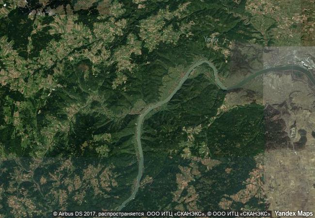
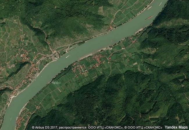
the wachau is a stretch of the danube valley between melk and krems, a landscape of high visual quality. it preserves in an intact and visible form many traces - in terms of architecture, (monasteries, castles, ruins), urban design, (towns and villages), and agricultural use, principally for the cultivation of vines - of its evolution since prehistoric times. |
|

|
justification |
criterion (ii): the wachau is an outstanding example of a riverine landscape bordered by mountains in which material evidence of its long historical evolution has survived to a remarkable degree.
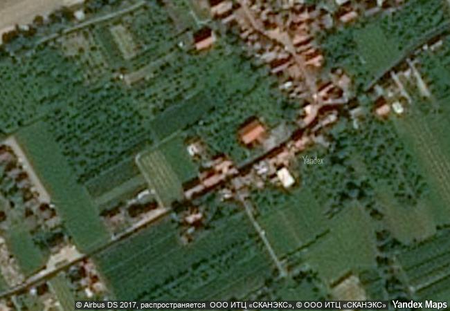
criterion (iv): the architecture, the human settlements, and the agricultural use of the land in the wachau vividly illustrate a basically medieval landscape which has evolved organically and harmoniously over time. |
|


 0
0




 1 X ™ unesco
 Info
Info
 Map
Map
 similar
 language