Kernavė Archaeological Site (Cultural Reserve of Kernavė)
Vilnius county, Širvintos district, Kernave town.
|

|
Identifier |
1137 |
|

|
states |
lt |
|

|
category |
cultural |
|

|
criteria |
(iii)(iv) |
|

|
Title |
kernavė archaeological site (cultural reserve of kernavė) |
|

|
latitude |
54.8790016174 |
|

|
longitude |
24.8530006409 |
|

|
location |
vilnius county, širvintos district, kernave town. |
|

|
Region |
europe and north america |
|

|
year |
2004 |
|

|
unique number |
1317 |
|

|
description |
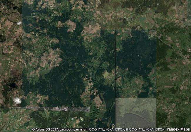
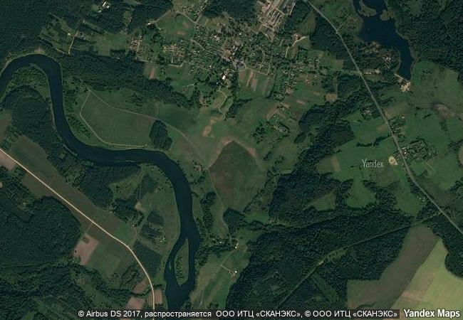
the kernavė archaeological site, about 35 km north-west of vilnius in eastern lithuania, represents an exceptional testimony to some 10 millennia of human settlements in this region. situated in the valley of the river neris, the site is a complex ensemble of archaeological properties, encompassing the town of kernavė, forts, some unfortified settlements, burial sites and other archaeological, historical and cultural monuments from the late palaeolithic period to the middle ages. the site of 194,4 ha has preserved the traces of ancient land-use, as well as remains of five impressive hill forts, part of an exceptionally large defence system. kernavė was an important feudal town in the middle ages. the town was destroyed by the teutonic order in the late 14th century, however the site remained in use until modern times. |
|

|
justification |
criterion (iii): the archaeological site of kernave presents an exceptional testimony to the evolution of human settlements in the baltic region in europe over the period of some 10 millennia. the site has exceptional evidence of the contact of pagan and christian funeral traditions.
criterion (iv): the settlement patterns and the impressive hill-forts represent outstanding examples of the development of such types of structures and the history of their use in the pre-christian era. |
|


 0
0


 1 X ™ unesco
 Info
Info
 Map
Map
 similar
 language


