Ouadi Qadisha (the Holy Valley) and the Forest of the Cedars of God (Horsh Arz el-Rab)
Qadisha Valley, Becharre District, Governorate of North Lebanon
|

|
Identifier |
850 |
|

|
states |
lb |
|

|
category |
cultural |
|

|
criteria |
(iii)(iv) |
|

|
Title |
ouadi qadisha (the holy valley) and the forest of the cedars of god (horsh arz el-rab) |
|

|
latitude |
34.2538871765 |
|

|
longitude |
36.9511108398 |
|

|
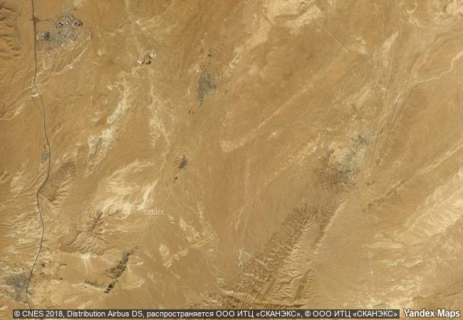
location |
qadisha valley, becharre district, governorate of north lebanon |
|

|
Region |
arab states |
|

|
year |
1998 |
|

|
unique number |
1001 |
|

|
description |
the qadisha valley is one of the most important early christian monastic settlements in the world. its monasteries, many of which are of a great age, stand in dramatic positions in a rugged landscape. nearby are the remains of the great forest of cedars of lebanon, highly prized in antiquity for the construction of great religious buildings. |
|

|
justification |
criterion iii: the qadisha valley has been the site of monastic communities continuously since the earliest years of christianity. the trees in the cedar forest are survivors of a sacred forest and of one of the most highly prized building materials of the ancient world. criterion iv: the monasteries of the qadisha valley are the most significant surviving examples of this fundamental demonstration of christian faith. |
|


 0
0


 1 X ™ unesco
 Info
Info
 Map
Map
 similar
 language