Qal’at al-Bahrain – Ancient Harbour and Capital of Dilmun
Northern Region
|

|
Identifier |
1192 |
|

|
states |
bh |
|

|
category |
cultural |
|

|
criteria |
(ii)(iii)(iv) |
|

|
Title |
qal’at al-bahrain – ancient harbour and capital of dilmun |
|

|
latitude |
26.2330608368 |
|

|
longitude |
50.5272216797 |
|

|
location |
northern region |
|

|
Region |
arab states |
|

|
year |
2005 |
|

|
unique number |
2062 |
|

|
description |
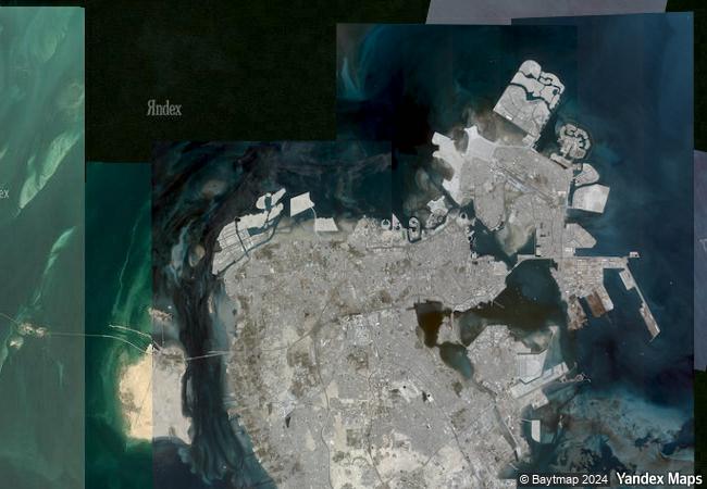
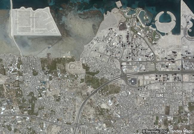
qal’at al-bahrain is a typical tell – an artificial mound created by many successive layers of human occupation. the strata of the 300 × 600 m tell testify to continuous human presence from about 2300 bc to the 16th century ad. about 25% of the site has been excavated, revealing structures of different types: residential, public, commercial, religious and military. they testify to the importance of the site, a trading port, over the centuries. on the top of the 12 m mound there is the impressive portuguese fort, which gave the whole site its name, qal’a (fort). the site was the capital of the dilmun, one of the most important ancient civilizations of the region. it contains the richest remains inventoried of this civilization, which was hitherto only known from written sumerian references. |
|

|
justification |
criterion (ii): being an important port city, where people and traditions from different parts of the then known world met, lived and practiced their commercial activities, makes the place a real meeting point of cultures – all reflected in its architecture and development. being in addition, invaded and occupied for long periods, by most of the great powers and empires, leaved their cultural traces in different strata of the tell.
criterion (iii): the site was the capital of one of the most important ancient civilizations of the region – the dilmun civilization. as such this site is the best representative of this culture.
criterion (iv): the palaces of dilmun are unique examples of public architecture of this culture, which had an impact on architecture in general in the region. the different fortifications are the best examples of defence works from the 3rd century b.c to the 16th century ad, all on one site. the protected palm groves surrounding the site are an illustration of the typical landscape and agriculture of the region, since the 3rd century bc. |
|


 0
0


 1 X ™ unesco
 Info
Info
 Map
Map
 similar
 language