1 xXx X ™
3
⬤
unesco
⬤


☆
Bursa and Cumalıkızık: the Birth of the Ottoman Empire

Europe and North America

8.760.68 km
☆
★★★★☆
0

Bursa and Cumalıkızık: the Birth of the Ottoman Empire


Identifier 1452
states tr
category cultural
criteria (i)(ii)(iv)(vi)
Title bursa and cumalıkızık: the birth of the ottoman empire
latitude 40.1847305298
longitude 29.0623359680
Region europe and north america
year 2014
unique number 1995
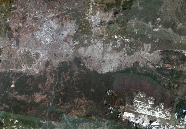
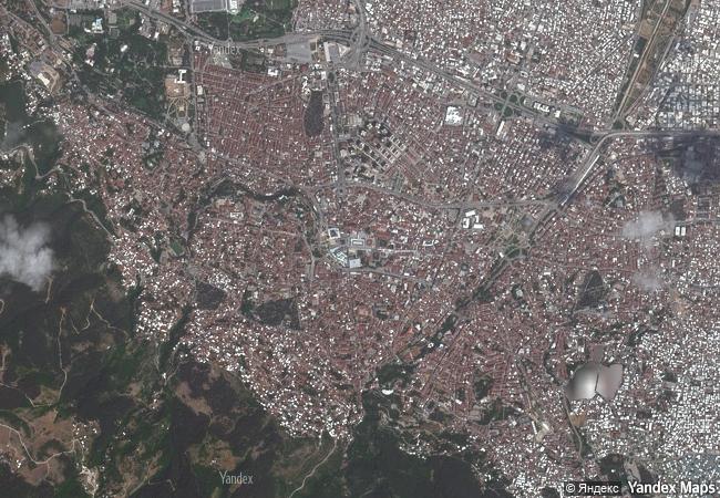
description this property is a serial nomination of eight component sites in the city of bursa and the nearby village of cumalıkızık, in the southern marmara region. the site illustrates the creation of an urban and rural system establishing the ottoman empire in the early 14th century. the property embodies the key functions of the social and economic organization of the new capital which evolved around a civic centre. these include commercial districts of khans, kulliyes (religious institutions) integrating mosques, religious schools, public baths and a kitchen for the poor, as well as the tomb of orhan ghazi, founder of the ottoman dynasty. one component outside the historic centre of bursa is the village of cumalıkızık, the only rural village of this system to show the provision of hinterland support for the capital.
★
5.4 M

Turkey
www.X-X-X.NAME
40,18 ° × 29,06 °

40 ° 11 ′ 05 ″ N × 29 ° 04 ′ 44 ″ E
8.760.68 km

96 ° E>SE
Türkiye, Bursa, Osmangazi District, Nalbantoglu Neighborhood, Covered Bazaar Avenue, 35

Türkiye / Osmangazi District / Bursa / Nalbantoglu Neighborhood / Covered Bazaar Avenue / Covered Bazaar Avenue, 35
☆
Ivrea, industrial city of the 20th century

Europe and North America

7.036.65 km
☆
Persepolis

Fars

11.008.38 km
☆
The Maison Carrée of Nîmes

Europe and North America

6.887.79 km
☆
Verla Groundwood and Board Mill

Municipalities of Jaala and Valkeala, Region of Kymenlaakso, Province of Southern Finland

7.123.40 km
☆
Birka and Hovgården

Stockholm County (Region of Uppland)

6.811.26 km
☆
Buddhist Ruins of Takht-i-Bahi and Neighbouring City Remains at Sahr-i-Bahlol

North West Frontier Province

11.364.43 km
☆
Le Colline del Prosecco di Conegliano e Valdobbiadene

Europe and North America

7.294.48 km
☆
Caves and Ice Age Art in the Swabian Jura

Europe and North America

6.993.60 km
☆
Island of Gorée

Cape Verde Region

6.897.69 km
☆
Petroglyphs of the Archaeological Landscape of Tanbaly

Almaty Oblast

10.455.69 km
☆
Historic Centre of Salvador de Bahia

Bahia State, north-east region of Brazil

7.464.02 km
☆
Kakatiya Rudreshwara (Ramappa) Temple, Telangana

Asia and the Pacific

13.304.24 km

©

1 X ™


BRAND • COM • CORP • GLOBAL • INT

AAA • BASE • GRAND • HIGH • ORIGINAL • QUALITY • TOP • UNIQUE

™X-X-X•NAME
1 X ™ unesco
Info
Map
similar
language
▼ ▼ ▼
guest


1 X
™
-5
IP : America/New_York
-5
IP : America/New_York
▼ ▼ ▼
►
►