X 1 xXx ™
⬤
unesco
⬤


☆
Archaeological Area and the Patriarchal Basilica of Aquileia

Province of Udine, Friuli-Venezia Giulia Region

7.081.74 km
☆
★★★★☆
0

Archaeological Area and the Patriarchal Basilica of Aquileia


Province of Udine, Friuli-Venezia Giulia Region
Identifier 825
states it
category cultural
criteria (iii)(iv)(vi)
Title archaeological area and the patriarchal basilica of aquileia
latitude 45.7683334351
longitude 13.3675003052
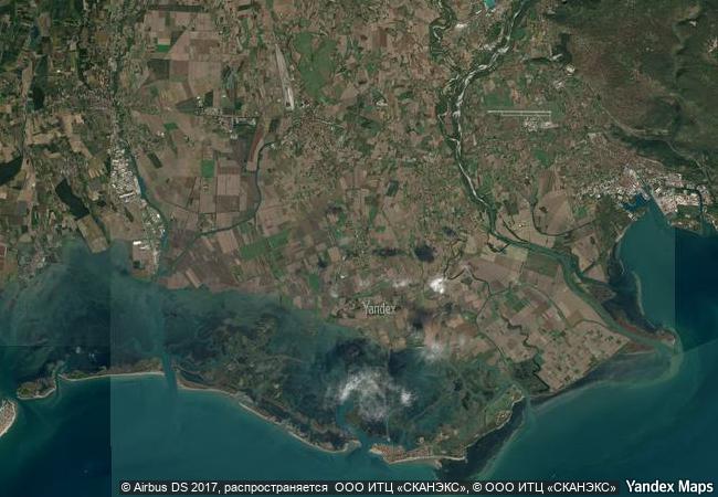
location province of udine, friuli-venezia giulia region
Region europe and north america
year 1998
unique number 2319
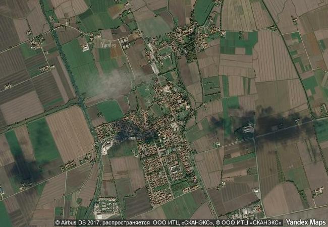
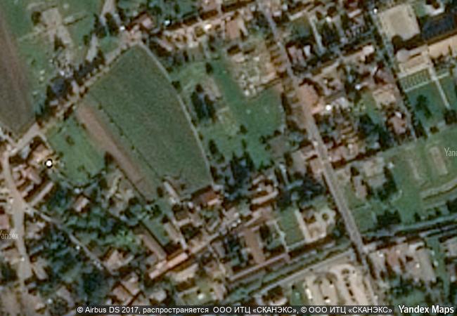
description aquileia (in friuli-venezia giulia), one of the largest and wealthiest cities of the early roman empire, was destroyed by attila in the mid-5th century. most of it still lies unexcavated beneath the fields, and as such it constitutes the greatest archaeological reserve of its kind. the patriarchal basilica, an outstanding building with an exceptional mosaic pavement, played a key role in the evangelization of a large region of central europe.
justification criterion iii: aquileia was one of the largest and most wealthy cities of the early roman empire. criterion iv: by virtue of the fact that most of ancient aquileia survives intact and unexcavated, it is the most complete example of an early roman city in the mediterranean world. criterion vi: the patriarchal basilican complex in aquileia played a decisive role in the spread of christianity into central europe in the early middle ages.
★
8.3 M
(3)

Italy

Aquileia
www.X-X-X.NAME
45,76 ° × 13,36 °

45 ° 46 ′ 06 ″ N × 13 ° 22 ′ 03 ″ E
7.081.74 km

288 ° W>NW
Italy, Friuli-Venezia Giulia, Provincia di Udine, Aquileia

Italy / Friuli-Venezia Giulia / Provincia di Udine / Aquileia
☆
Cultural Landscape of Sintra

Sintra/Serra

5.741.57 km
☆
Levuka Historical Port Town

Asia and the Pacific

12.396.97 km
☆
Fertö / Neusiedlersee Cultural Landscape

State of Burgenland (AT) / County of Györ-Moson-Sopron (HU)

7.192.00 km
☆
Heritage of Mercury. Almadén and Idrija

Europe and North America

6.104.08 km
☆
Historic Fortified Town of Campeche

State of Campeche

2.474.34 km
☆
Prehistoric Sites and Decorated Caves of the Vézère Valley

Communes of Les Eyzies de Tayac, Tursac, Montignac-sur-Vézère, Saint-Leon-sur-Vézère, Marquay, Manaurie-Rouffignac and Saint-Cirq-du Bugue, Department of the Dordogne, Region of Aquitaine

6.268.54 km
☆
Historical Monuments at Makli, Thatta

Province of Sind

12.059.42 km
☆
As-Salt - The Place of Tolerance and Urban Hospitality

Arab States

9.531.28 km
☆
Ancient Thebes with its Necropolis

Governorate of Qina

9.795.96 km
☆
Mausoleum of Khoja Ahmed Yasawi

South Kazakhstan Oblast, City of Turkestan

10.232.46 km
☆
Central Sector of the Imperial Citadel of Thang Long - Hanoi

Asia and the Pacific

13.325.38 km
☆
The Loire Valley between Sully-sur-Loire and Chalonnes

Europe and North America

6.133.69 km

©

1 X ™


BRAND • COM • CORP • GLOBAL • INT

AAA • BASE • GRAND • HIGH • ORIGINAL • QUALITY • TOP • UNIQUE

™X-X-X•NAME
1 X ™ unesco
Info
Map
similar
language
▼ ▼ ▼
guest


1 X
™
-5
IP : America/New_York
-5
IP : America/New_York
▼ ▼ ▼
►
►