X xXx 1
unesco


Champagne Hillsides, Houses and Cellars

Europe and North America

6.583.03 km
0

Champagne Hillsides, Houses and Cellars


Identifier 1465
states fr
category cultural
criteria (iii)(iv)(vi)
Title champagne hillsides, houses and cellars
latitude 49.0774993896
longitude 3.9461109638
Region europe and north america
year 2015
unique number 2026
description 
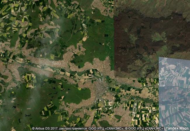
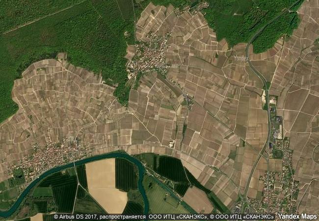
the property encompasses sites where the method of producing sparkling wines was developed on the principle of secondary fermentation in the bottle since the early 17th century to its early industrialization in the 19th century. the property is made up of three distinct ensembles: the historic vineyards of hautvillers, aÿ and mareuil-sur-aÿ, saint-nicaise hill in reims, and the avenue de champagne and fort chabrol in epernay. these three components – the supply basin formed by the historic hillsides, the production sites (with their underground cellars) and the sales and distribution centres (the champagne houses) - illustrate the entire champagne production process. the property bears clear testimony to the development of a very specialized artisan activity that has become an agro-industrial enterprise.
9.4 M
(2)

France
www.X-X-X.NAME
49,07 ° × 3,94 °

49 ° 05 ′ 39 ″ N × 3 ° 57 ′ 46 ″ E
6.583.03 km

324 ° N>NW
France, Grand Est, Marne, Arrondissement d`Épernay, Hautvillers

France / Grand Est / Marne / Arrondissement d`Épernay / Hautvillers
Tiwanaku: Spiritual and Political Centre of the Tiwanaku Culture

Province of Ingavi, Department of La Paz

6.457.60 km
San Millán Yuso and Suso Monasteries

San Millán de la Cogolla, Province and Autonomous Community of La Rioja

6.452.40 km
Kujataa Greenland: Norse and Inuit Farming at the Edge of the Ice Cap

Europe and North America

3.457.97 km
Dutch Water Defence Lines

Europe and North America

6.464.88 km
Archaeological Ruins at Moenjodaro

Sind

11.958.76 km
Naumburg Cathedral

Europe and North America

6.962.74 km
Rila Monastery

On the slopes of Rila, the highest Balkan Peninsula Mountain, in the valley of the Rilska River, 29 km east of the Sofia-Thessaloniki Highway. Rila, Kyustendil Province

8.259.72 km
Rock Art of Alta

Alta municipality, county of Finnmark

6.447.99 km
Sites of Human Evolution at Mount Carmel: The Nahal Me’arot / Wadi el-Mughara Caves

Europe and North America

9.726.87 km
Diyarbakır Fortress and Hevsel Gardens Cultural Landscape

Europe and North America

9.605.78 km
Chhatrapati Shivaji Terminus (formerly Victoria Terminus)

City of Mumbai, Maharashtra State

13.002.74 km
The English Lake District

Europe and North America

5.902.54 km

©

1 X ™


BRAND COM CORP GLOBAL INT

AAA BASE GRAND HIGH ORIGINAL QUALITY TOP UNIQUE

X-X-X•NAME
1 X ™ unesco
Info
Map
similar
language
guest


1 X
-4
IP : America/New_York
-4
IP : America/New_York