xXx 1 X ™
⬤
unesco
⬤


☆
Beijing Central Axis: A Building Ensemble Exhibiting the Ideal Order of the Chinese Capital

Asia and the Pacific

10.919.17 km
☆
★★★★☆
0

Beijing Central Axis: A Building Ensemble Exhibiting the Ideal Order of the Chinese Capital


Identifier 1714
states cn
category cultural
criteria (iii)(iv)
Title beijing central axis: a building ensemble exhibiting the ideal order of the chinese capital
latitude 39.9072227478
longitude 116.3913879395
Region asia and the pacific
year 2024
unique number 2532
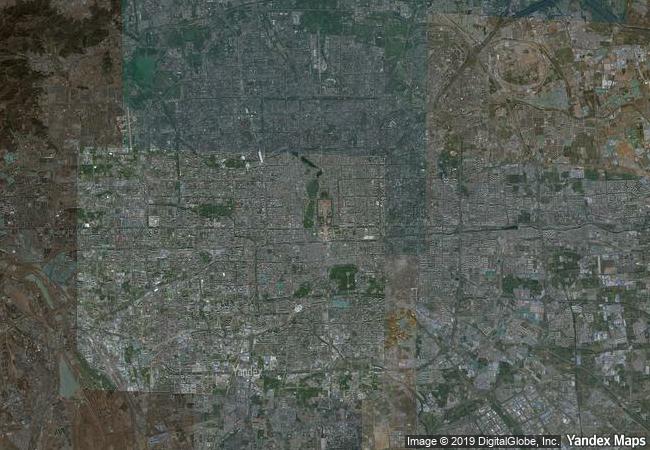
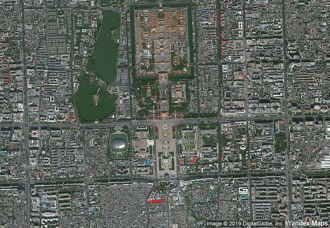
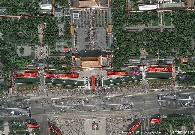
description running north to south through the heart of historical beijing, the central axis consists of former imperial palaces and gardens, sacrificial structures, and ceremonial and public buildings. together they bear testimony to the evolution of the city and exhibits evidence of the imperial dynastic system and urban planning traditions of china. the location, layout, urban pattern, roads and design showcase the ideal capital city as prescribed in the kaogongji, an ancient text known as the book of diverse crafts. the area, between two parallel rivers, has been settled for about 3,000 years, but the central axis itself originated during the yuan dynasty (1271-1368) that established its capital, dadu, in the northern part. the property also features later historical structures built during the ming dynasty (1368-1644) and improved during the qing dynasty (1636-1912).
★
9.55 M
(2)

China
www.X-X-X.NAME
39,90 ° × 116,39 °

39 ° 54 ′ 26 ″ N × 116 ° 23 ′ 29 ″ E
10.919.17 km

133 ° SE
China, Direct-Controlled Municipality of Beijing, Dongcheng District

China / North China Plain / Direct-Controlled Municipality of Beijing / Beijing / Dongcheng District
☆
Royal Hill of Ambohimanga

Municipality of Ambohimanga Rova, Province of Antananarivo Avaradrano

14.758.44 km
☆
Historic Centre of Vienna

Vienna

7.415.70 km
☆
Archaeological Sites of Bat, Al-Khutm and Al-Ayn

Al Dhahira region

11.839.90 km
☆
Fujisan, sacred place and source of artistic inspiration

Asia and the Pacific

10.612.80 km
☆
Hopewell Ceremonial Earthworks

Europe and North America

48.23 km
☆
Camino Real de Tierra Adentro

Latin America and the Caribbean

2.655.23 km
☆
Kunta Kinteh Island and Related Sites

Lower Niumi and Upper Niumi districts
and Banjul Municipality

7.078.94 km
☆
Litomyšl Castle

Pardubice Region

7.308.22 km
☆
Würzburg Residence with the Court Gardens and Residence Square

District of Lower Franconia, State of Bavaria (Bayern)

6.925.40 km
☆
Bergpark Wilhelmshöhe

Europe and North America

6.808.15 km
☆
Fasil Ghebbi, Gondar Region

Amhara Region

11.545.81 km
☆
Pre-Hispanic Town of Uxmal

Etat de Yucatan, municipalites Muna et Santa Elena

2.272.39 km

©

1 X ™


BRAND • COM • CORP • GLOBAL • INT

AAA • BASE • GRAND • HIGH • ORIGINAL • QUALITY • TOP • UNIQUE

™X-X-X•NAME
1 X ™ unesco
Info
Map
similar
language
▼ ▼ ▼
guest


1 X
™
-5
IP : America/New_York
-5
IP : America/New_York
▼ ▼ ▼
►
►