Macquarie Island
State of Tasmania
|

|
Identifier |
629 |
|

|
states |
au |
|

|
category |
natural |
|

|
criteria |
(vii)(viii) |
|

|
Title |
macquarie island |
|

|
latitude |
-54.5947227478 |
|

|
longitude |
158.8955535889 |
|

|
location |
state of tasmania |
|

|
Region |
asia and the pacific |
|

|
year |
1997 |
|

|
unique number |
747 |
|

|
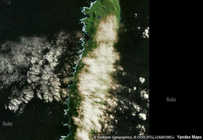
description |
macquarie island (34 km long x 5 km wide) is an oceanic island in the southern ocean, lying 1,500 km south-east of tasmania and approximately halfway between australia and the antarctic continent. the island is the exposed crest of the undersea macquarie ridge, raised to its present position where the indo-australian tectonic plate meets the pacific plate. it is a site of major geoconservation significance, being the only place on earth where rocks from the earth’s mantle (6 km below the ocean floor) are being actively exposed above sea-level. these unique exposures include excellent examples of pillow basalts and other extrusive rocks. |
|

|
justification |
the committee decided that the site provides an unique example of exposure of the ocean crust above the sea level and of geological evidence for sea-floor spreading, and is an exposure of the oceanic plate boundary between the pacific and australian/indian plates, exposed with active faults and ongoing tectonic movements. |
|


 0
0


 1 X ™ unesco
 Info
Info
 Map
Map
 similar
 language